I write stories about the places I travel and my personal experiences in these places. The inspiration for my work as an artist is fueled by my travels & adventures. As an adventurer I’m known as The Redheaded Nomad. Here you can learn more about me as an adventurer, read my travel adventure blogs (below), and see what gear I use on my adventures.
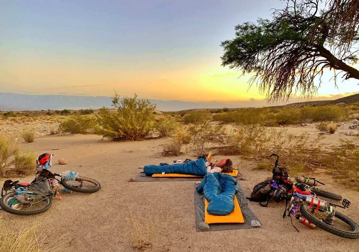
”The Funnel” to Fiambala
Moments are never just moments. In their passing, reality is forever redefined. Letting go is the most difficult part of any journey. And sometimes, the most difficult ones are the ones I can’t stop thinking about.
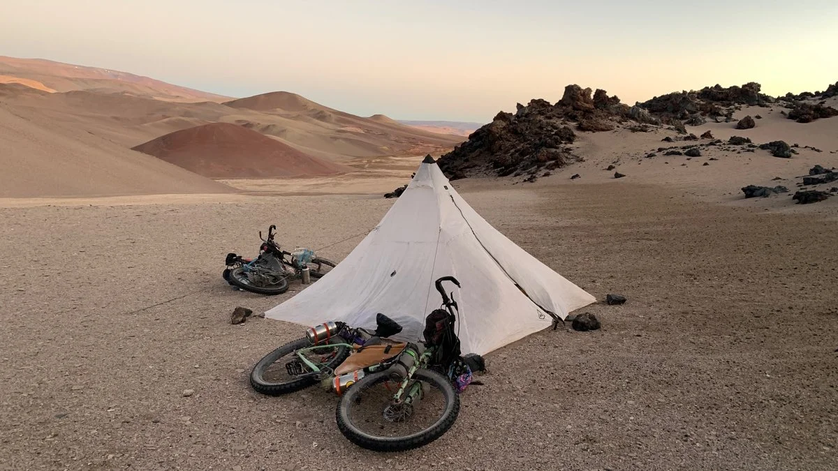
Potrerillo Creek to “The Funnel”
My body was tired; I could feel it wearing down. I thought I could squeeze out a few more kilometers, and so I tried, but really, things were shutting down and I knew it. You can only embrace so much exhaustion, so much cold, so much seeming rushing, before the body just stops abruptly.
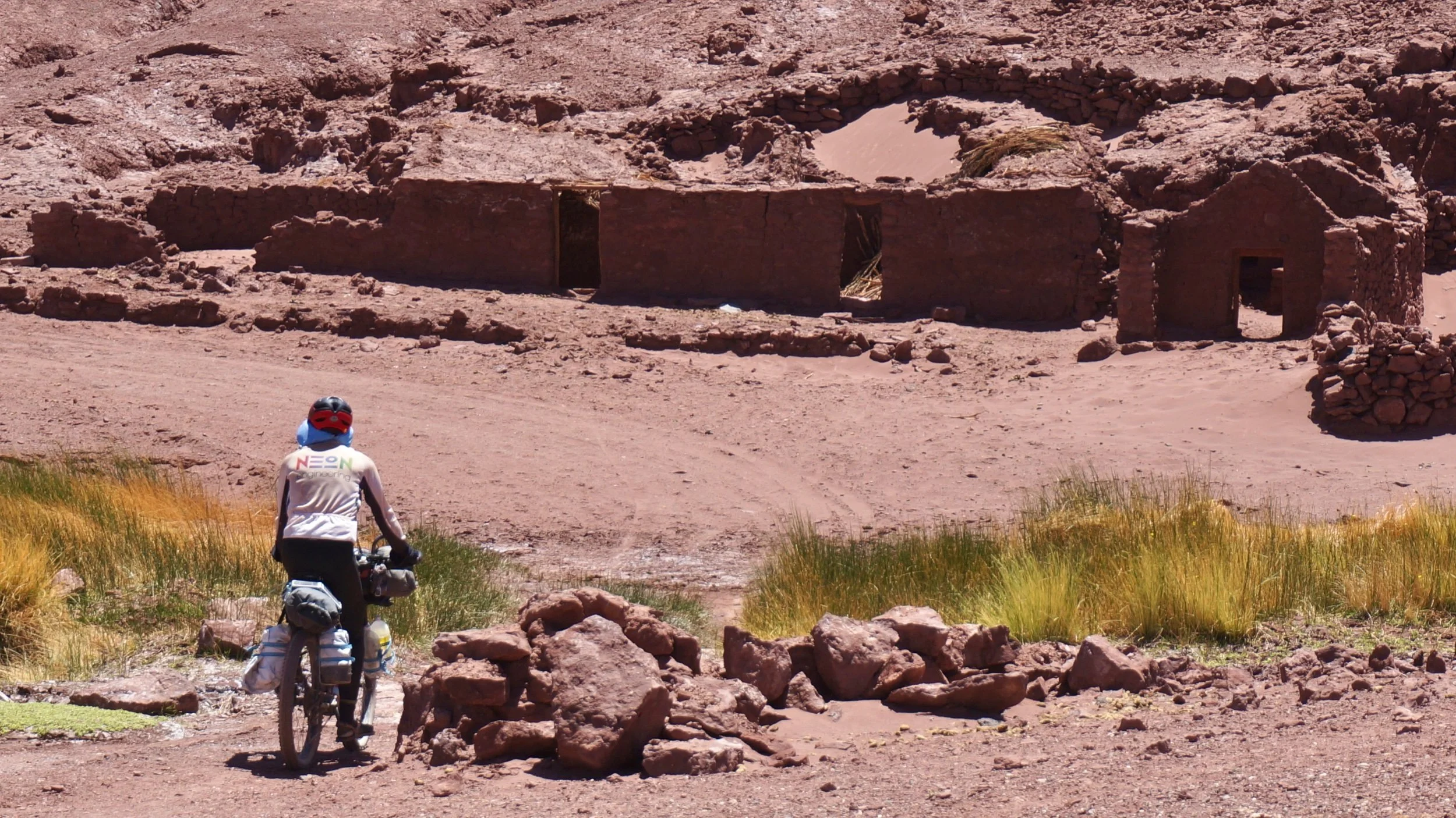
Salar de Archibarca to Potrerillo Creek
We made the pass, 5003 meters (16,414 ft), snapped a quick photo and raced down the other side. The road was steep, and the sand deeper. My bike wobbled, having a hard time picking a line in the deep sand. I dropped it coming to a stop. The wind gusting every which way.
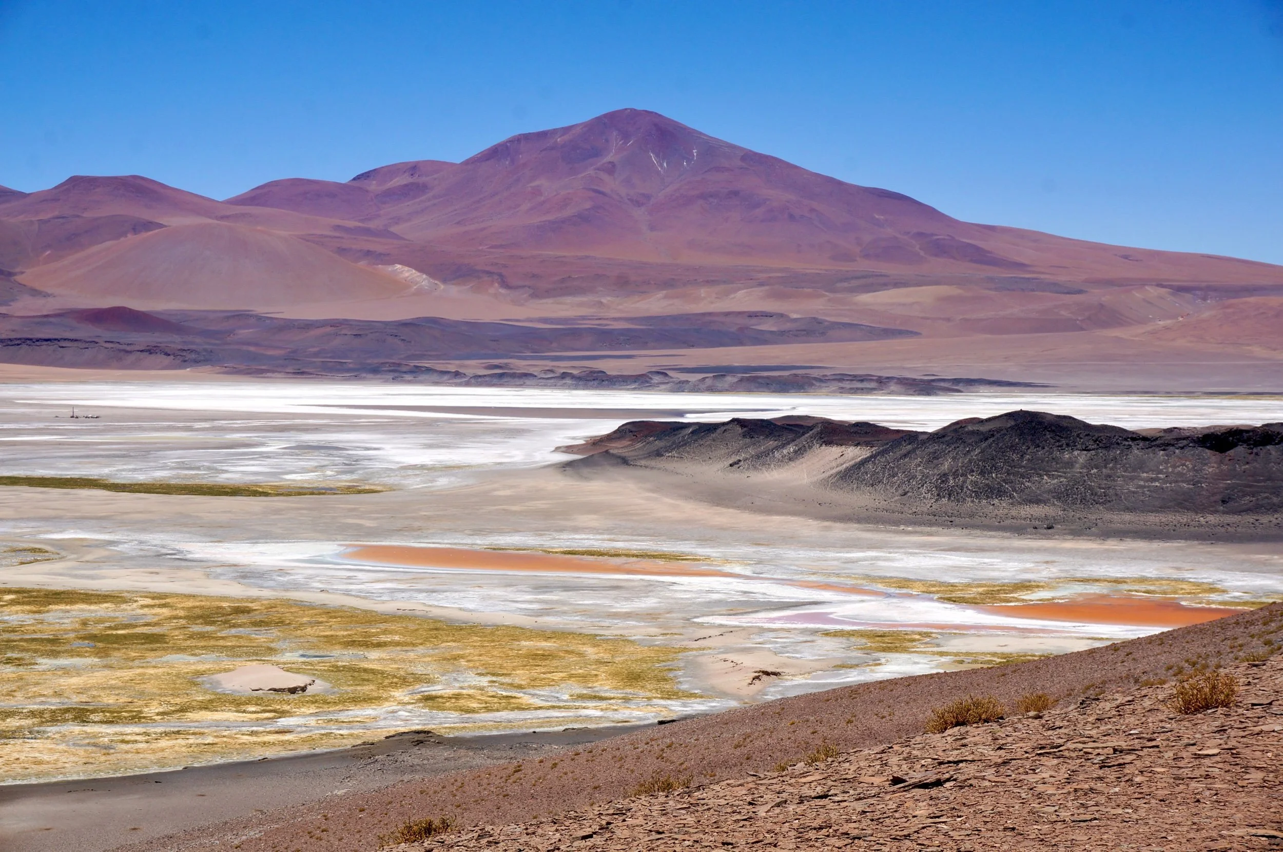
Mina La Casualidad to Salar de Archibarca
I wake in the night to flashes of light over the mountains. Neon wakes too and says the flashes are lightening in a storm on the other side of the mountains. But they’re otherworldly, more like seeing the northern lights for the first time, than just looking like lightening. Nothing out here is ordinary.
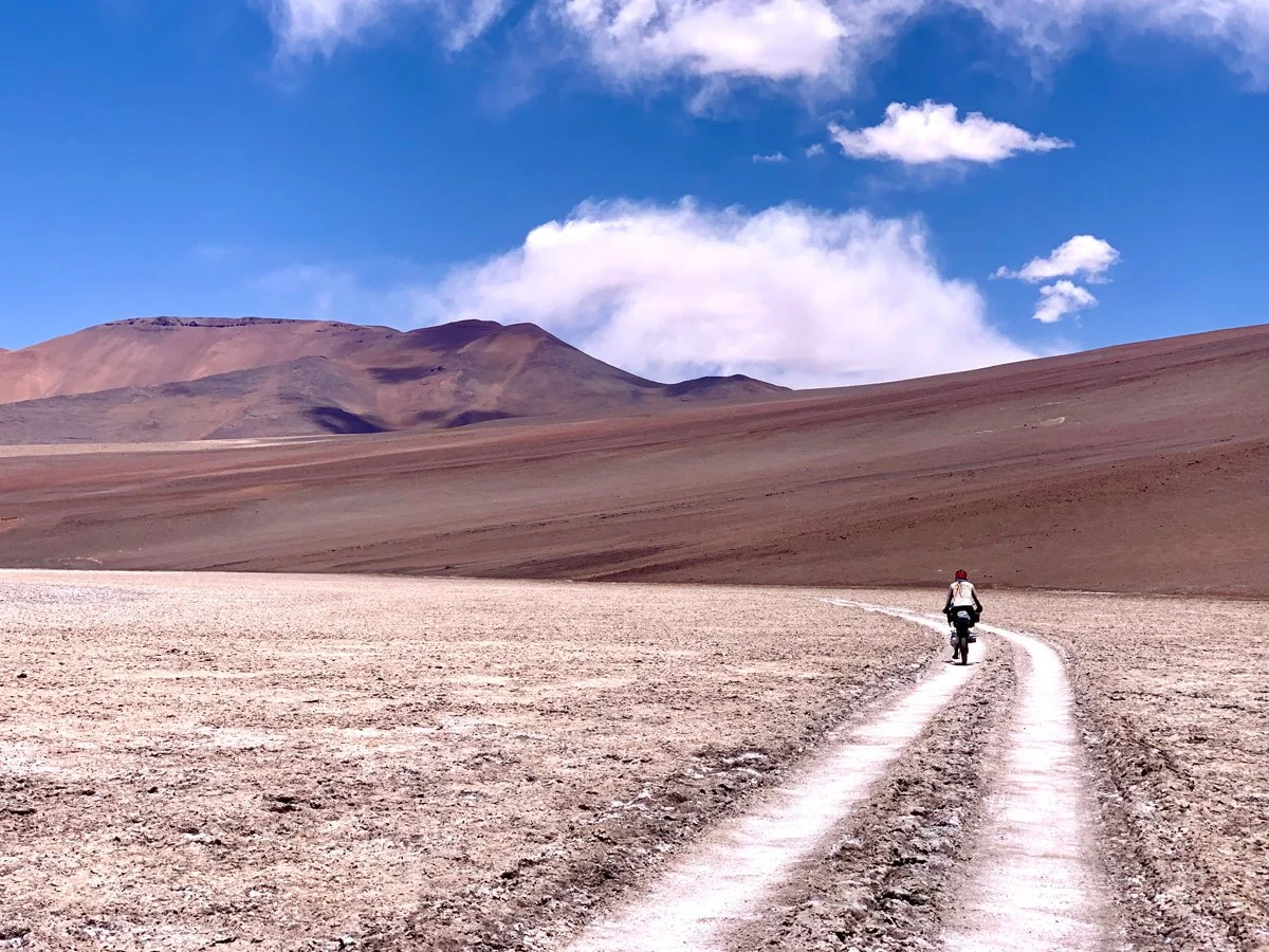
Iglesia Vega Socompa to Mina La Casualidad
The area this route travels through is the Puna de Atacama, with an average elevation of ~4500 meters. 85% of the Puna de Atacama lies within Argentina’s border, and the other 15% lies in Chile. It’s very dry here. The area is characterized by large salt flats and high mountains, especially a string of six thousand meter peaks, hence the route’s name “Ruta de La Seis Miles” or “route of the six thousanders”.
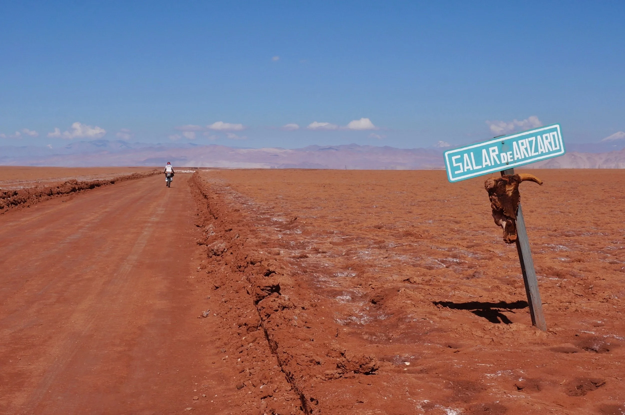
Tolar Grande to Iglesia Vega Socompa
These places were places long before this now abandoned rail line was here. Old cairns mark these roads, not always right where the road is now, but these are old routes, surrounding long-used water sources, with a string of old dwellings, large rock ovens, and larger short rock wall delineated areas that perhaps were once used for agriculture. I’ve had so many questions as we’ve rolled through this area. How old are all these ruins? How many people once lived here? What did they grow? Did the area used to be wetter? Were there more trees? So many possible stories.
SEARCH - TRN Blog Posts by : KEYWORDS
SEARCH - TRN Blog Posts by: CATEGORIES & YEARS
- Appalachian Trail
- Argentina
- Arizona
- Arizona Trail
- Baja Divide
- Bikepacking
- California
- Climbing
- Colombia
- Continental Divide Trail
- Ecuador
- Gear
- Hayduke Trail
- Highpoints
- Hiking
- Italy
- Long Distance Hiking
- Mexico
- Mountaineering
- Ruta de Los Seis Miles
- Section Hiking
- Southeast Asia
- Thailand
- Thru Hiking
- utah