
Colombia 5: The Trampolin de la Muerte

"San Agustín to Pasto" We left San Agustin late morning, weaving our way through the motos, buses, and cargo trucks as we exited town. Further out, the road was quiet, only a few passing motos and trucks. Locals sold mandarins and other fruit from little stands in front of their homes. We started climbing, going about the same speed as the horse drawn wagon, filled to the brim with fresh cut sugarcane, in front of us. These are always very surreal moments for me, as we leave one place behind and make our way to the next, witnessing the slow change of everything pass by, at the speed of my wheels turning, powered by my increasingly strong legs. Sometimes it feels as though I’m watching a slomo video, but more like a dream since everything is so different and weird from the reality I know (knew?). Home feels very far away now, as if perhaps it had only been a dream.We turned onto a dirt road, heading to Bruselas, leaving the small highway behind. Jungle, farms, a few tiendas, and homes lined the road. The occasional moto passed by, but mostly just a few people out walking, to and from somewhere. On these little roads, most people we meet seem a bit surprised by us, as I imagine regular tourists don’t venture this far out from the main roads and destinations. We stopped for the day in the tiny town of Bruselas, settled in, and then went out in search of beans and rice. Since we’ve gotten further south in Colombia more places have beans on their menus, and often lentils too, so it has been a lot easier to find good vegetarian food.
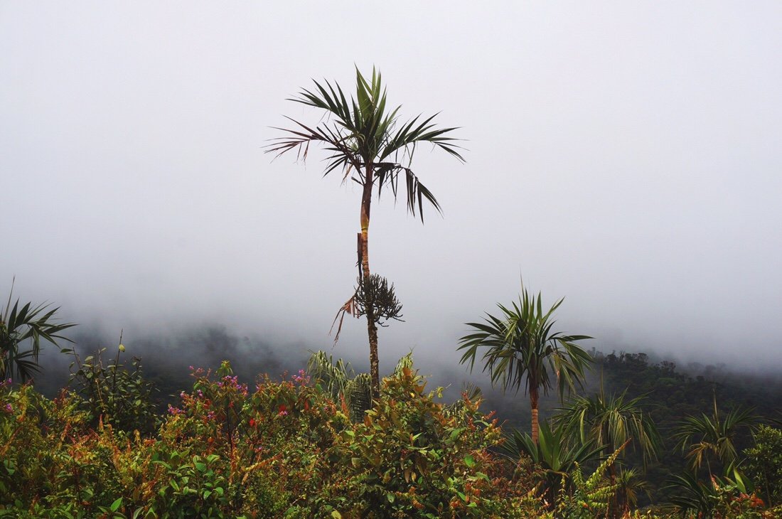
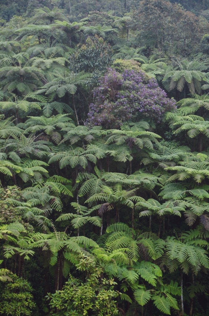 Tree ferns in the afternoon rain.•We started the next morning with a big climb out of town. The rain started in earnest near the top of the climb, just in time to freeze our fingers on the descent. It’s always a tough call—stop in the pouring rain and get all your clothes wet while trying to dig out a few warm layers, or just keep going in hope that the weather will improve or you’ll reach your destination before you freeze. Thankfully the weather improved significantly as we raced down from the pass, alternating between sunshine and light misty rain. After hearing that the tiny town of San Juan Villalobos had a hospedaje (hotel), we decided to stop a little early, warm up, and find another plate of beans and rice.
 It was still raining when we left San Juan. It rained the whole day, again. My dry bags were no match for this kind of rain, two days in a row. Bone soaking rain. Water, like a small river, ran down the road. We passed several landslides, some old, some new. I watched fresh soil and rocks tumble into the ditch on the side of the road. We crossed the Rio Mocoa, its waters ran brown; I assumed from all the landslides.
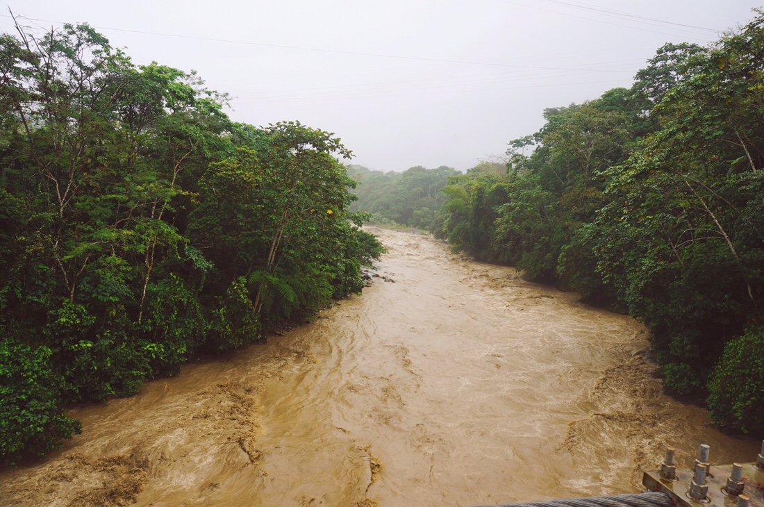
 Water flowed out of the ditches, spilling over the road, as we entered town. It was all kind of exciting, but I began to wonder: if there’s this much rain, this many landslides, and all this flooding here, what will our ride across the Trampolin de la Muerte be like?
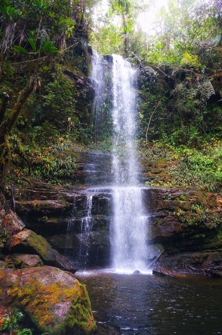
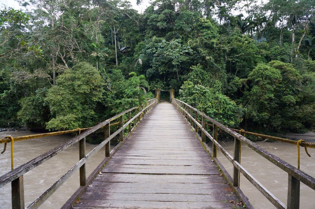 Before leaving Mocoa we visited Fin del Mundo for a short hike to a waterfall. The hike took us up a muddy slope in the Putumayo jungle. There were vines, and palms, and huge leaves. Everything was green and muddy and bursting with life.
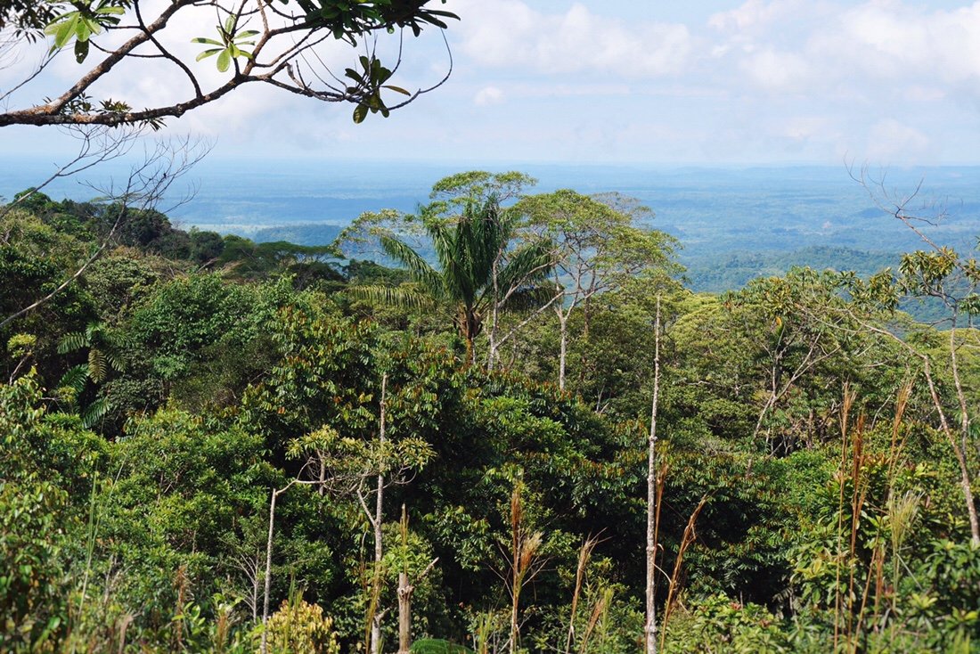 On the way up, we even had a view out to the edge of the Amazon basin. Sometimes you just get a feeling about a place, and though we only traveled a short distance through Putumayo, I knew it was a special place.
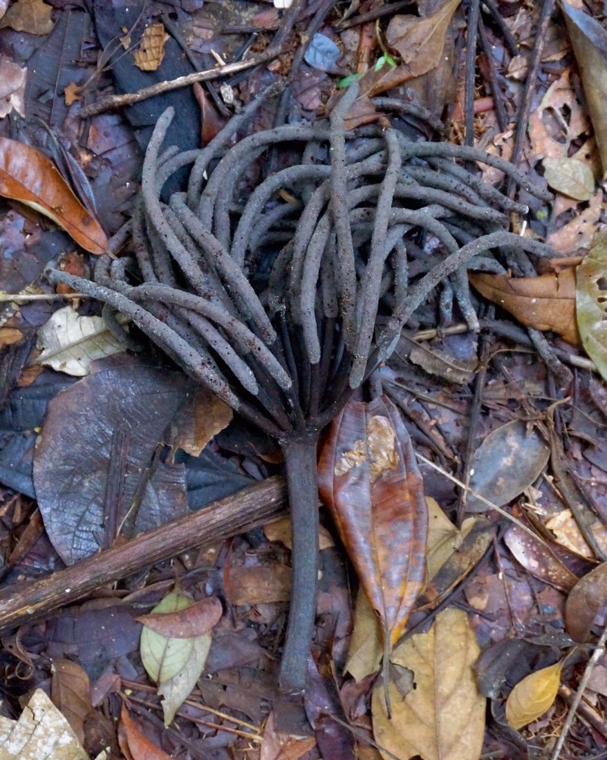

 It rained hard the night before we left Mocoa, but we woke to blue skies. As we made our way out of town, traffic backed up on the bridge over the Rio Mulata. I pulled over to see what everyone was looking at. Just a little upstream I could see one end of a pedestrian bridge resting in the river, and some of the homes adjacent to the river were missing walls. Apparently it rained so hard overnight that the river flooded its banks.
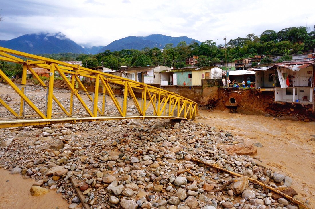 Rio Mulata ...note the missing walls on the homes.•A few kilometers later we crossed the Rio Rumiyaco. People were shoveling sand and gravel out of their shops, tiendas, and homes. It seemed this river had flooded as well. With all this flooding I started to worry about the first river ford on the Trampolin de la Muerte, which is sometimes impassable when there has been a lot of rain.
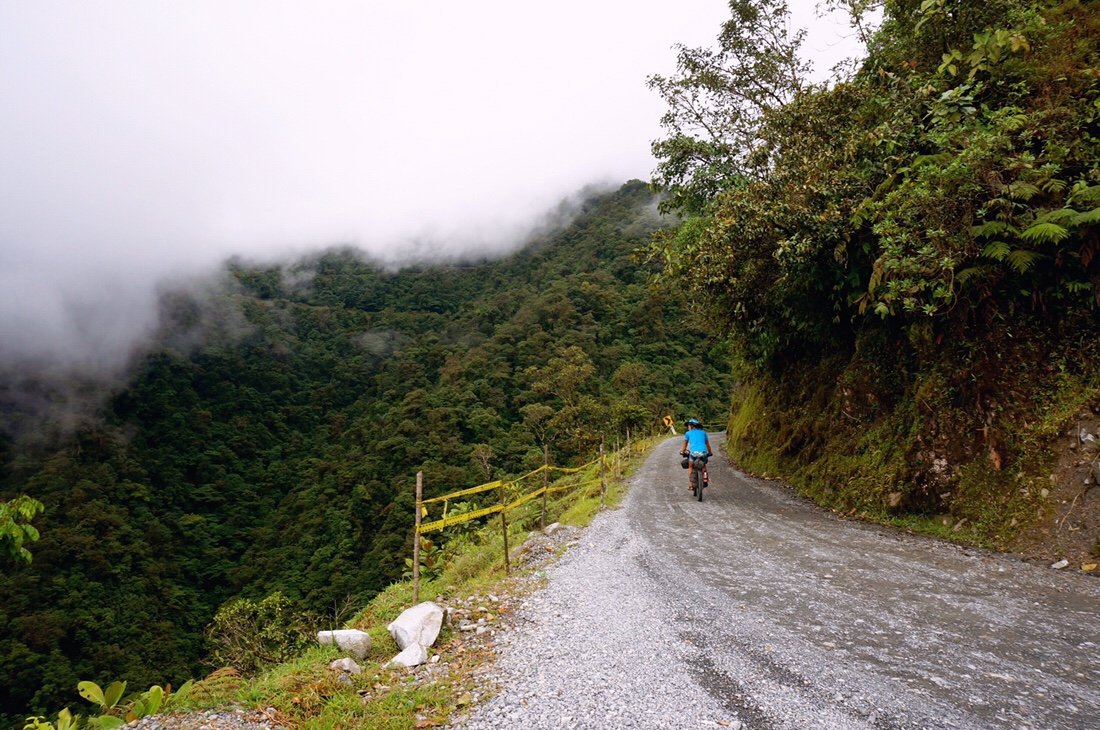
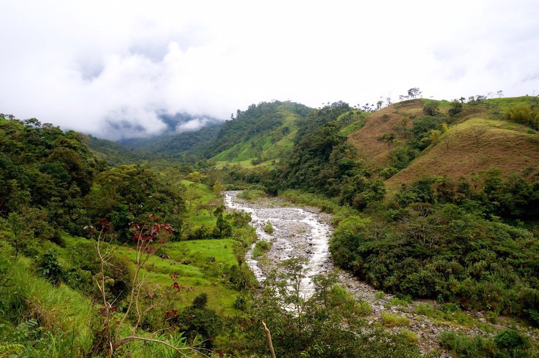 Rio Pepino, from the Trampolin de la Muerte.•
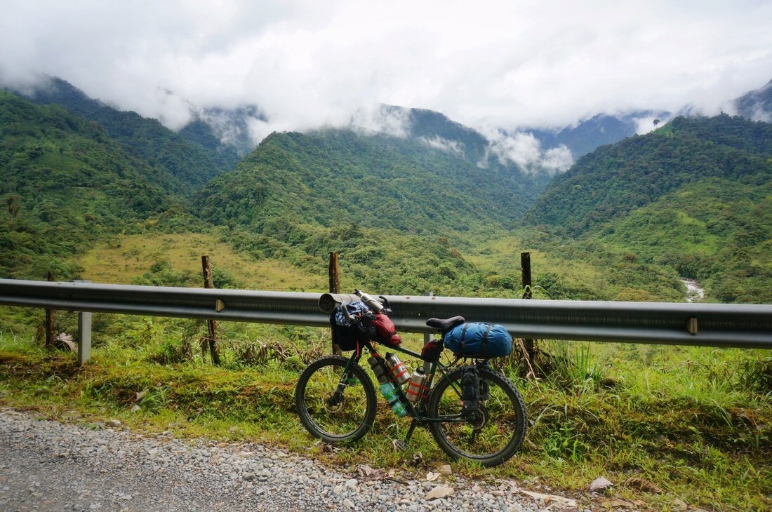 We turned onto Ruta 10, the Trampolin de la Muerte; the pavement ended after a few kilometers, and we began climbing. We stopped for lunch at a small truck stop restaurant (~20 kilometers from the main square in Mocoa). Several cargo trucks were waiting at the restaurant. One of the drivers told us that the road was currently closed to trucks until a few landslides were cleared, but that they thought it was still passable for motos and bicycles.
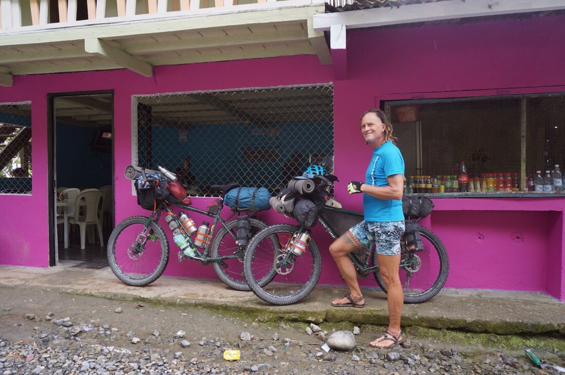
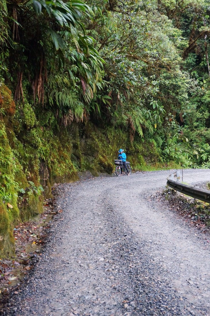
 Shortly after leaving the restaurant, ~1 km, we crossed the first ford. It was completely ridable, not deep at all, though it did have a strong current that tugged at my tires as I passed through it. Subsequent fords were rideable as well.


 All landslides we encountered had been partially cleared and completely passable by the time we got there. It seemed the weather gods were on our side. It rained lightly as we climbed higher, but by the time we reached the military outpost at El Mirador the sun was shining through the clouds, opening a view to the valley below.

 We stopped for a hot cup of agua panela at the small restaurant before riding the last two kilometers to the top of the climb. It had been a long day with a lot of uphill to get here, 3,140 meters (10,300 feet) of uphill pedaling, so we were very ready to call it a day. There was a restaurant at the top so we ordered an arepa, and another cup of hot agua panela to warm our cold fingers. We asked if there was a covered place nearby where we could camp for the night and we were offered a bunk indoors. It was pure luxury, out of the wet and cold. We slept for twelve hours straight. I guess all that climbing was more exhausting than I thought.
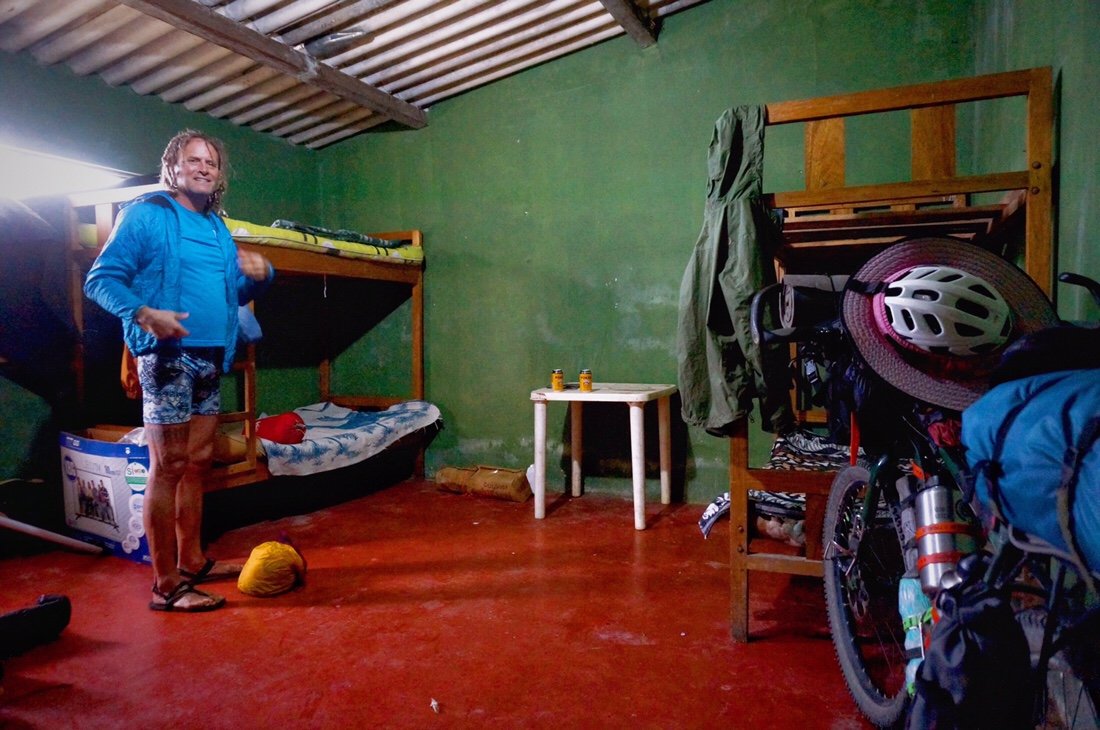
 We woke to the sun shining through the clouds, a perfect start to the morning, though I knew it wouldn’t be long before the rain fell. We said goodbye to our hosts and headed out for a fast downhill, stopping early for second breakfast at an unexpected (and open) restaurant. As we continued downhill the road became even more narrow. We passed several large landslide areas, which thankfully had been cleared before we arrived. The rain started as we began climbing, and continued for the rest of the day. We arrived in Sibundoy, wet and cold, but I felt strong and energized from climbing 3,775 meters (12,385 feet!) over the course of the day.
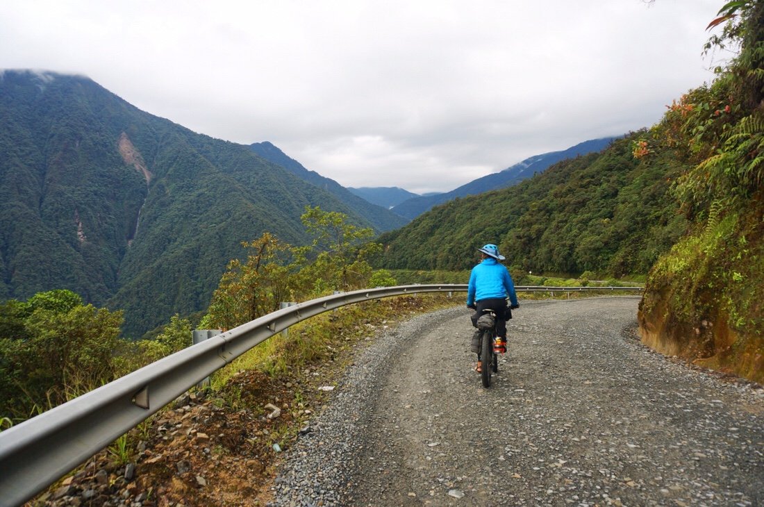
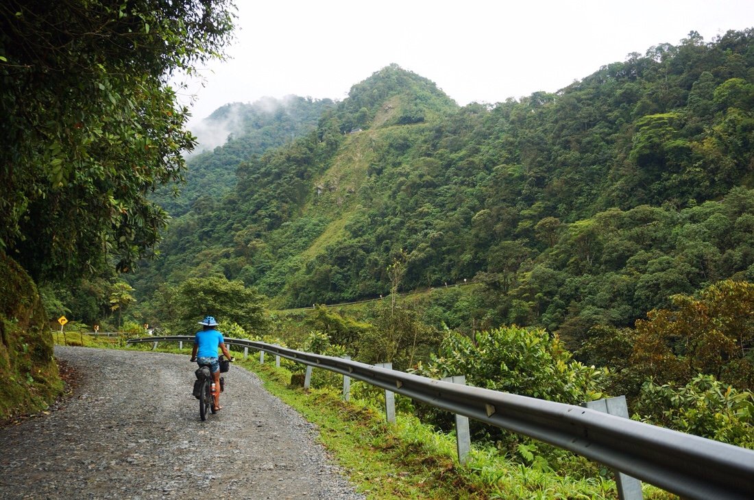
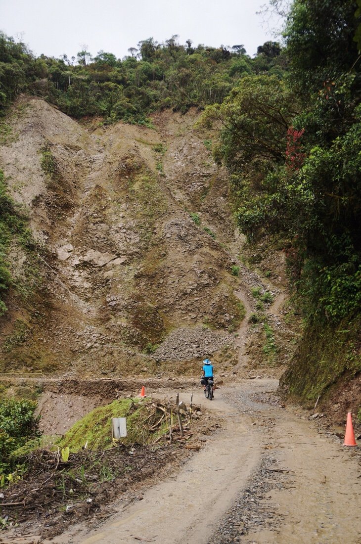 We rode through several, very large, landslide areas. Thankfully they had all been cleared, but the road was still in pretty rough shape.
 The already narrow road narrowed significantly by the time we started climbing, with barely enough room for a truck and a bike to pass. We often had to pull over into the cliff wall for each vehicle to pass.
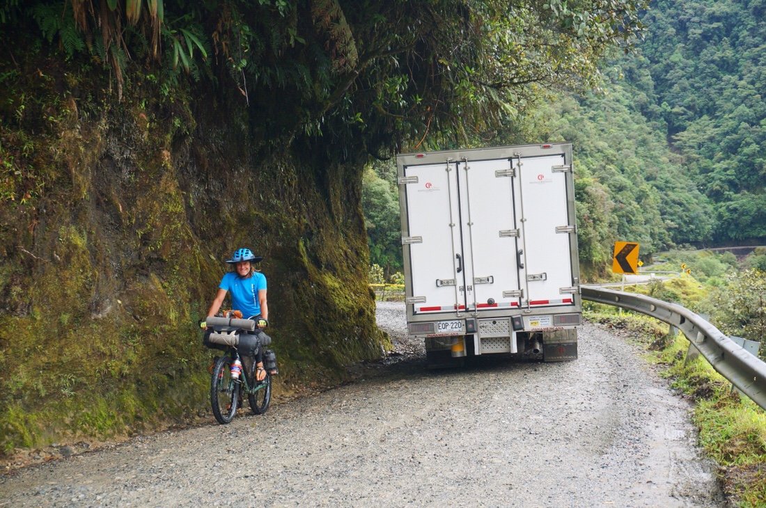

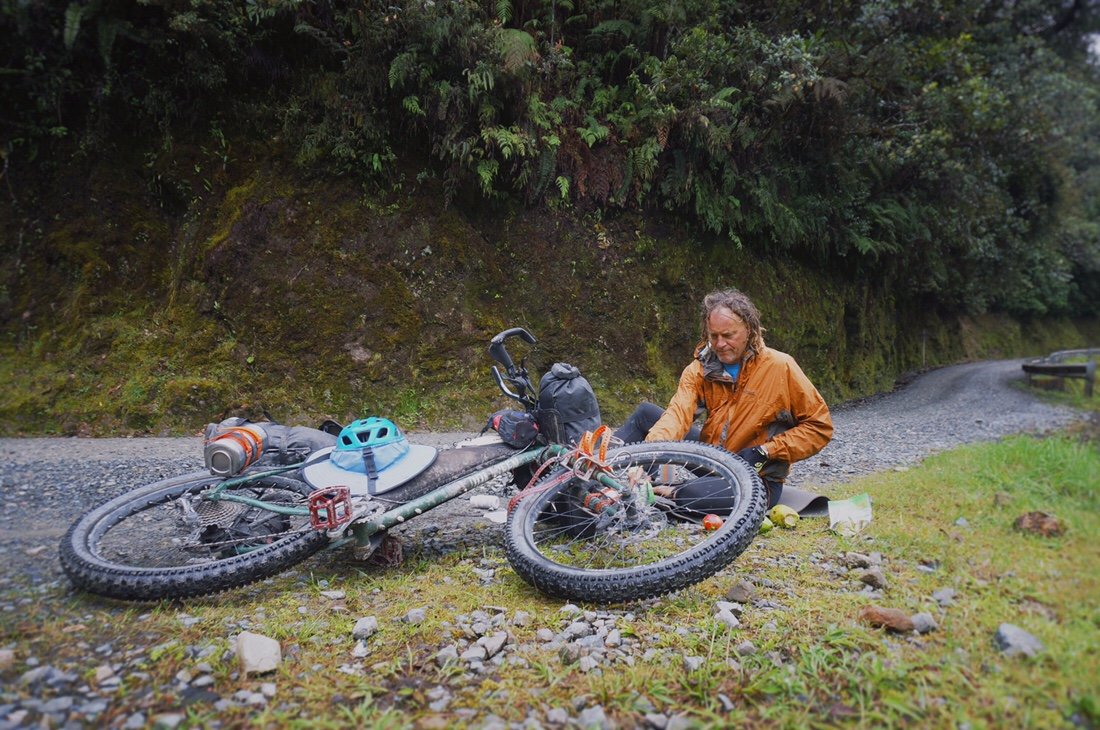 Lunch break ...when you discover the avocados you've been carrying uphill for two days have been smashed and smeared all over the contents of your bag.•
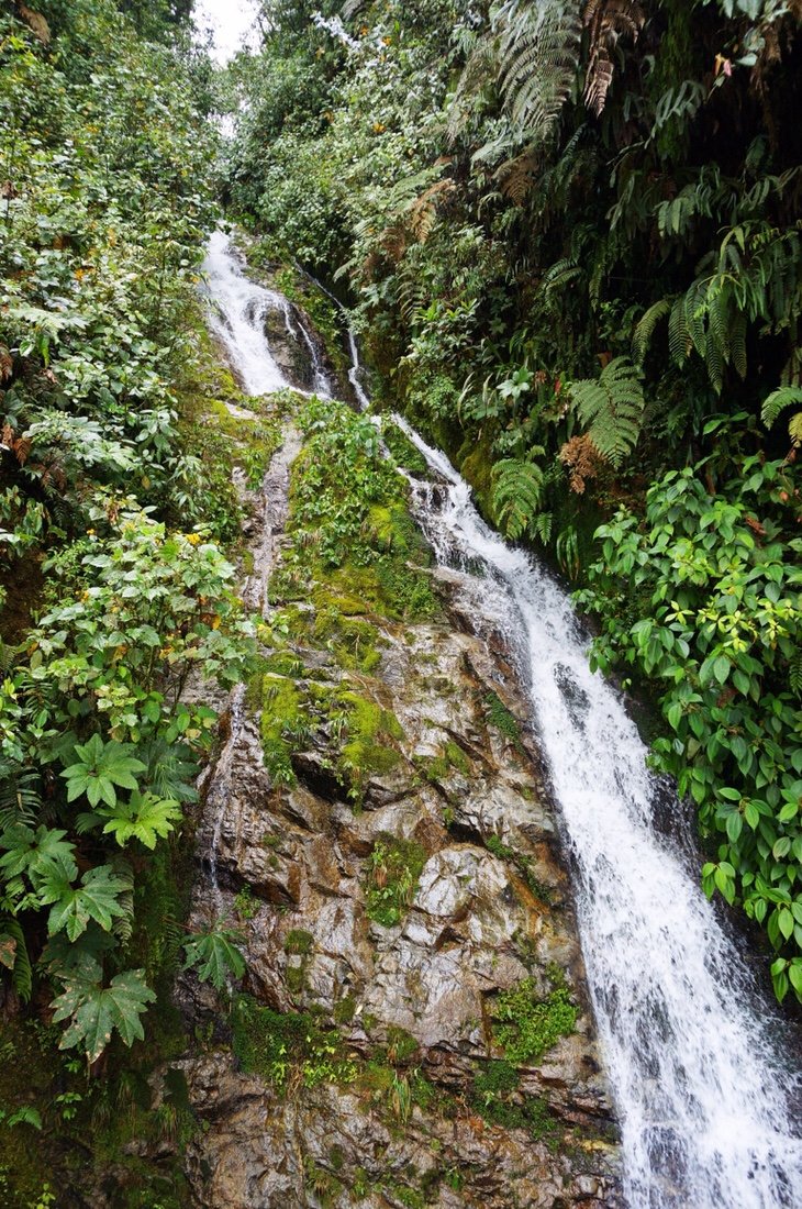
 Water rained from the sides of the road, sometimes forming small waterfalls, sometimes just misting and dripping from the cliffsides.
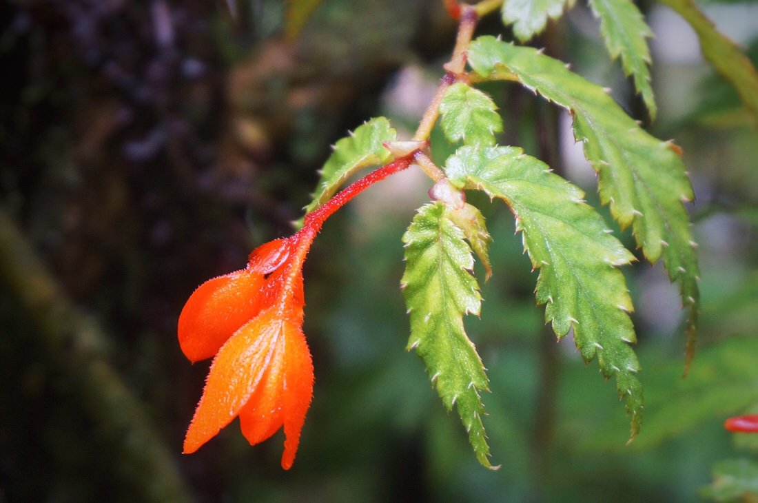
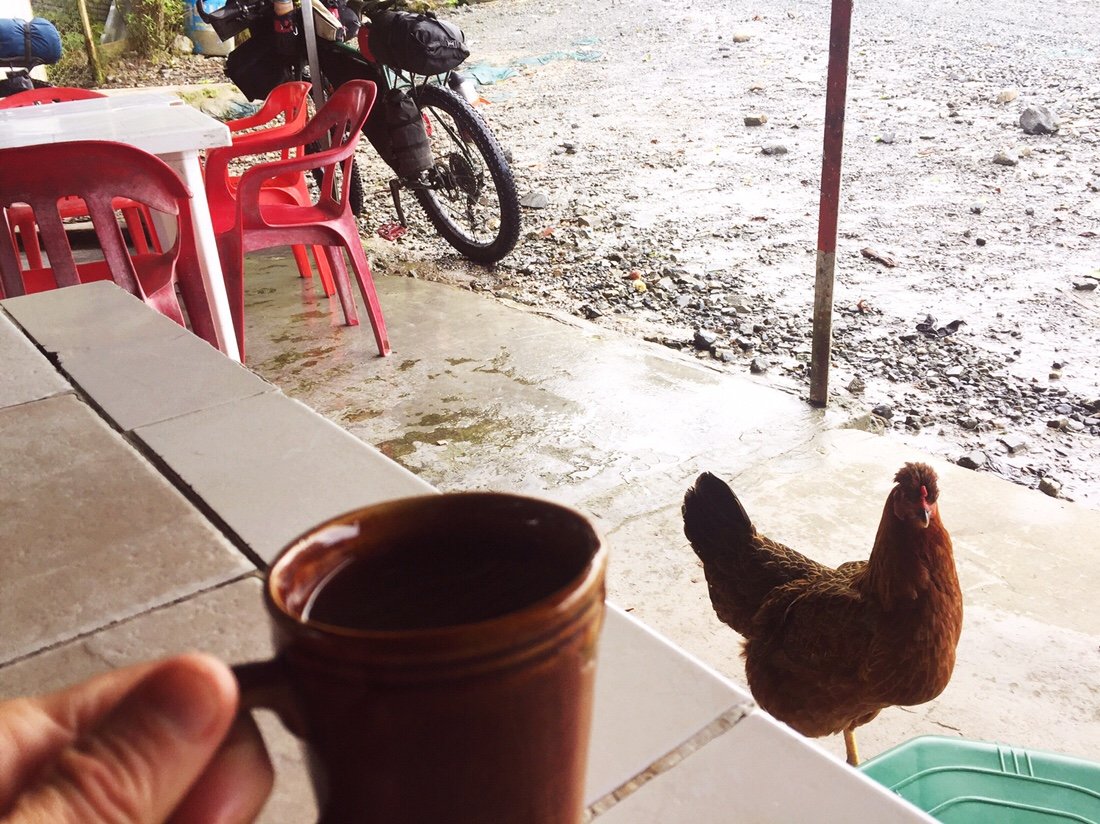
 It rained the entire afternoon. We were happy to come across this covered porch and tienda for a dry-ish rest break before finishing the rest of the climb.
 This friendly horse kept Neon occupied while he waited for me at the top of the climb.
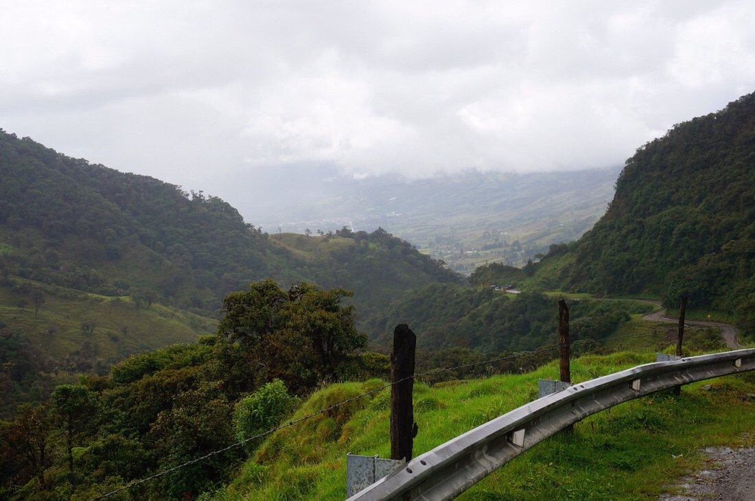 The landscape became less steep, and the road widened, as we descended into the Sibundoy Valley. The valley was more agricultural than anything we'd seen in days. On the way into the town of Sibundoy we passed fields of sugarcane, lulo, and fifteen foot tall corn (I'm pretty sure it was the tallest corn I'd ever seen).
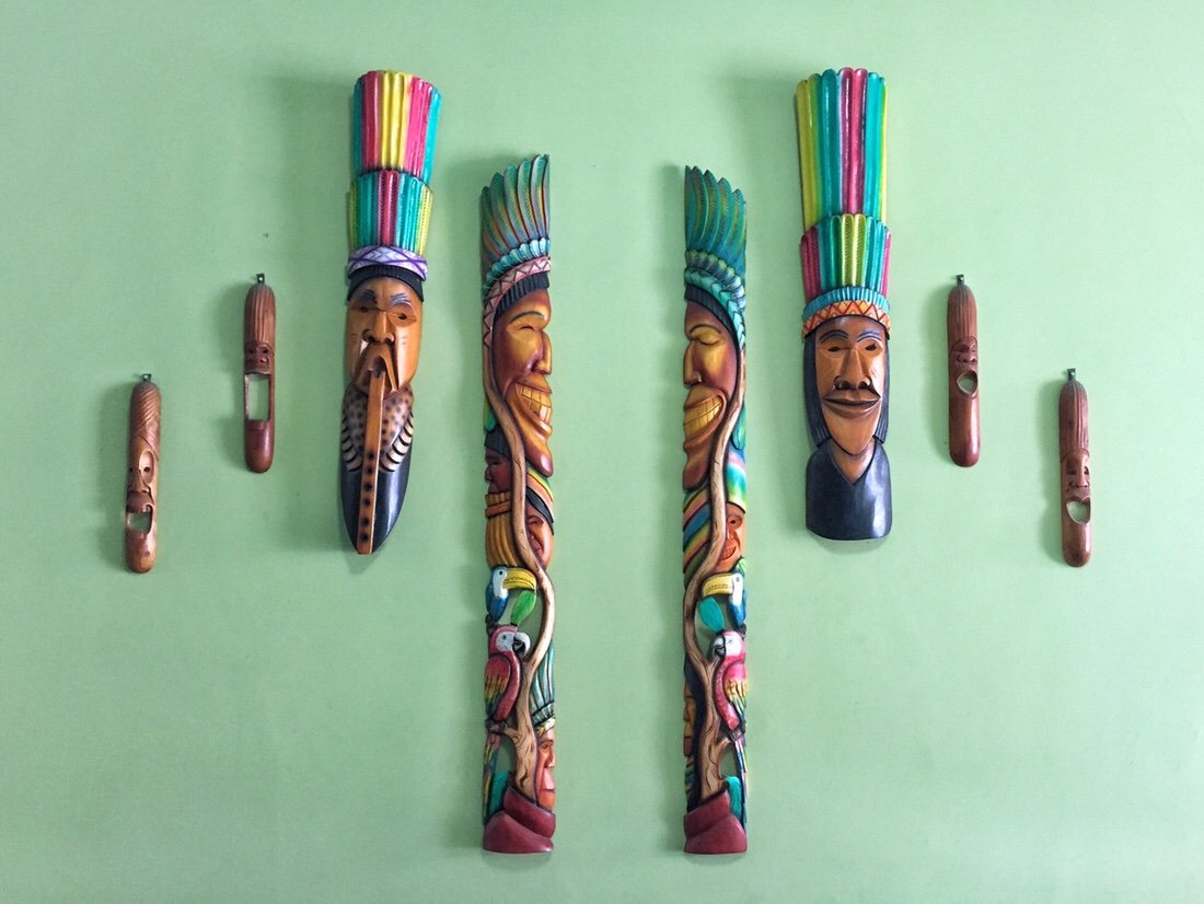 The Sibundoy valley is primarily occupied by the indigenous Inga and Kamsá people. We saw a lot of carved and painted masks and totems in the town of Sibundoy.•
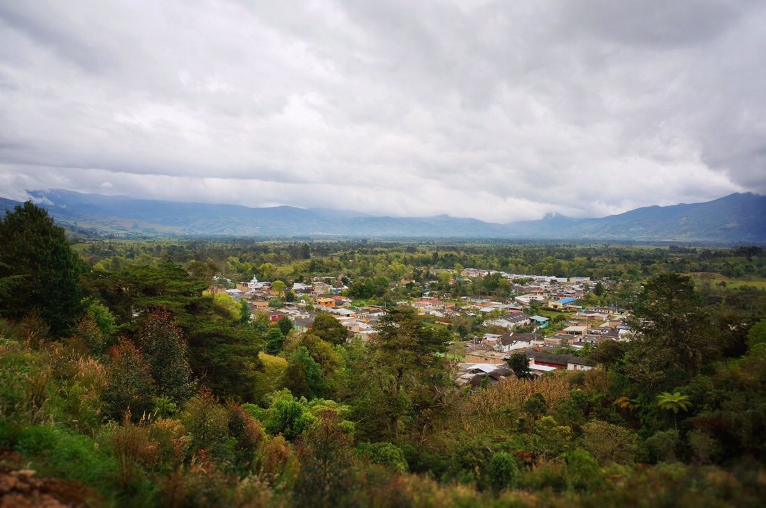 Looking back on the Sibundoy Valley from above Santiago. •
 Frailejones high in the clouds at the top of the climb after Sibundoy. •Since the road is paved the whole way between San Francisco and Pasto, I thought it would be easier than our first two days on the Trampolin, but by the time we reached El Encano I had completely bonked, so we found a hotel for the night, saving the last few kilometers to Pasto for the following day. Which turned out to be perfect since another cyclist, Brad bikehikesafari.com, was also in El Encano so we met up the next morning for coffee before leaving town.
 After a short climb out of El Encano we descended into a green valley speckled with farms and small towns, until we reached the busy streets of Pasto.
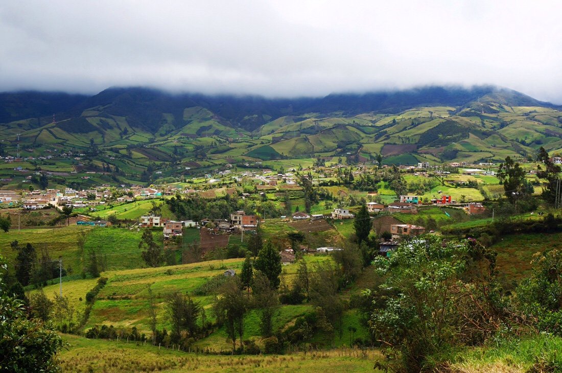
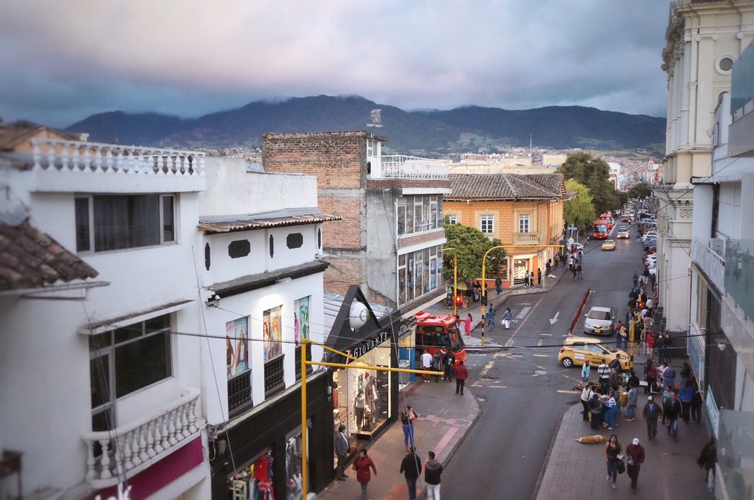 I wasn't expecting much of Pasto, but it turned out to be a great place to spend a few days drying out from the rain, and giving our bikes a little tune up in preparation for Ecuador ...and best of all, we found good coffee!
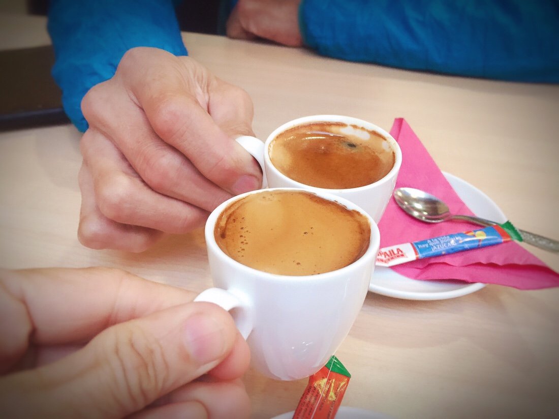 _____________________For more frequent updates, follow me on Instagram at: instagram.com/theredheadednomad•If you enjoy my posts and would like to make a contribution toward my travel expenses, or just buy me a coffee in appreciation, you can send an amount of your choosing through my paypal.me address:paypal.me/inthewildland•You can sign up to receive The Redheaded Nomad’s blog posts in your email inbox; sign up at the bottom of any page on my website: theredheadednomad.com_____________________