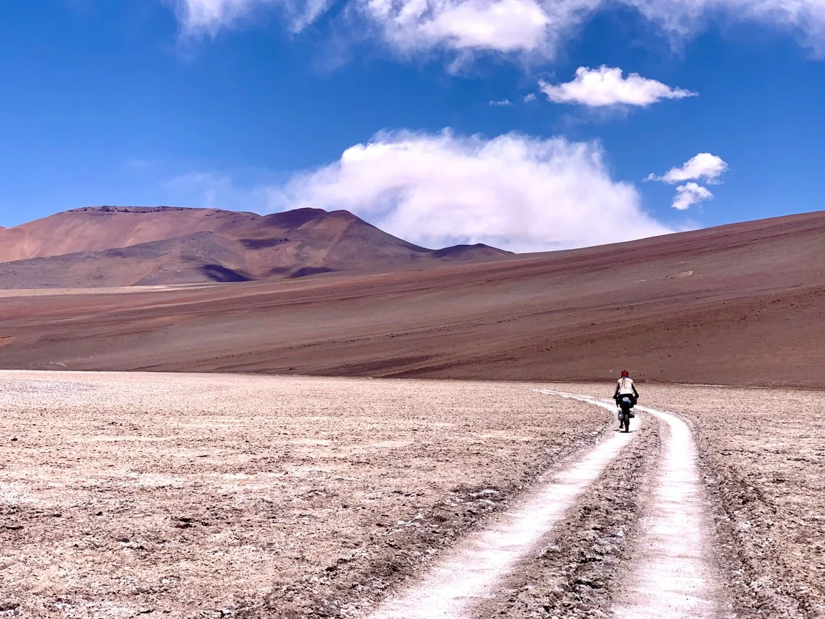
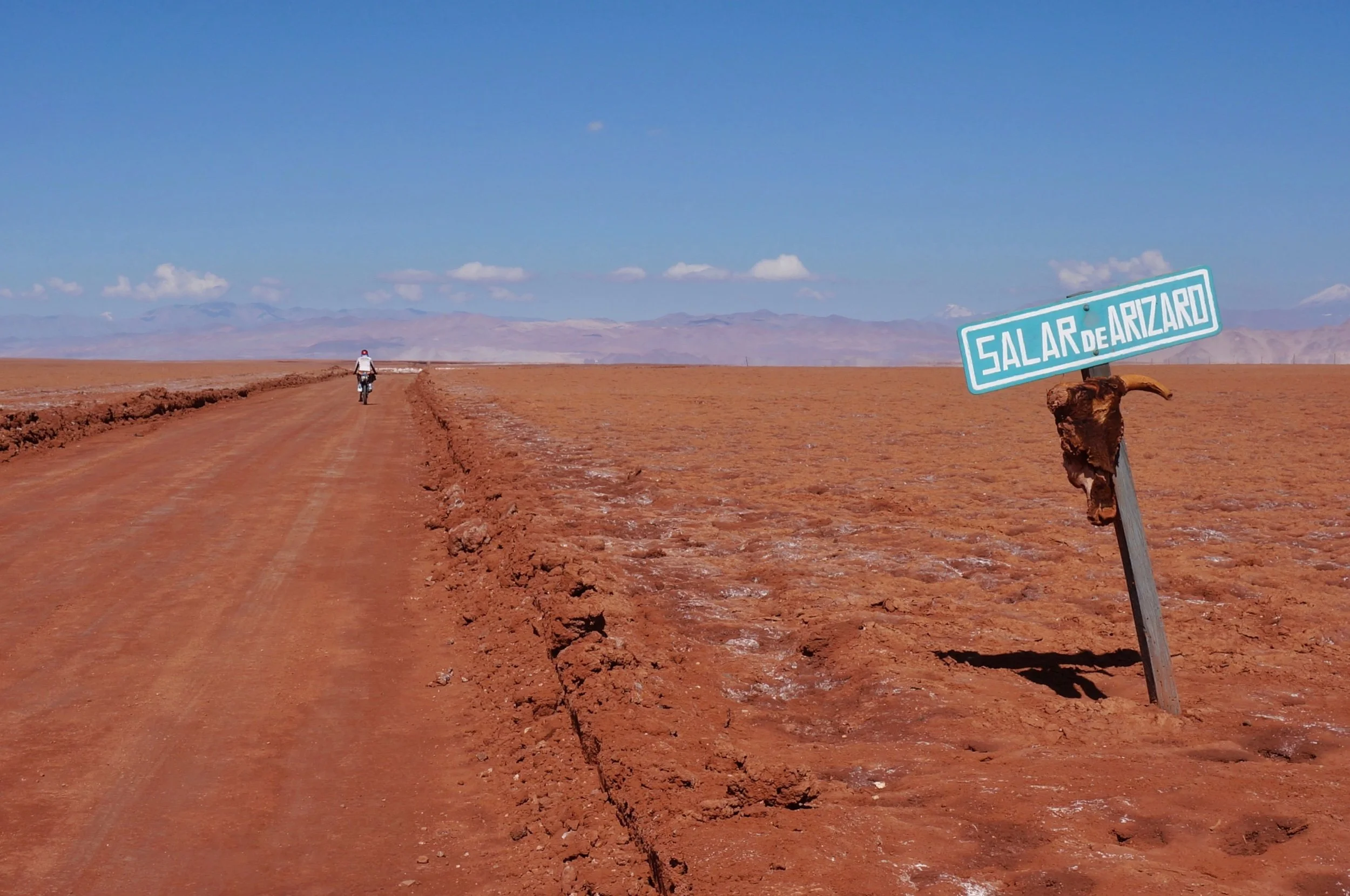
The area this route travels through is the Puna de Atacama, with an average elevation of ~4500 meters. 85% of the Puna de Atacama lies within Argentina’s border, and the other 15% lies in Chile. It’s very dry here. The area is characterized by large salt flats and high mountains, especially a string of six thousand meter peaks, hence the route’s name “Ruta de La Seis Miles” or “route of the six thousanders”.
Read MoreI write stories about the places I travel and my personal experiences in these places. The inspiration for my work as an artist is fueled by my travels & adventures. As an adventurer I’m known as The Redheaded Nomad. Here you can learn more about me as an adventurer, read my travel adventure blogs (below), and see what gear I use on my adventures.
These places were places long before this now abandoned rail line was here. Old cairns mark these roads, not always right where the road is now, but these are old routes, surrounding long-used water sources, with a string of old dwellings, large rock ovens, and larger short rock wall delineated areas that perhaps were once used for agriculture. I’ve had so many questions as we’ve rolled through this area. How old are all these ruins? How many people once lived here? What did they grow? Did the area used to be wetter? Were there more trees? So many possible stories.
Read More

