
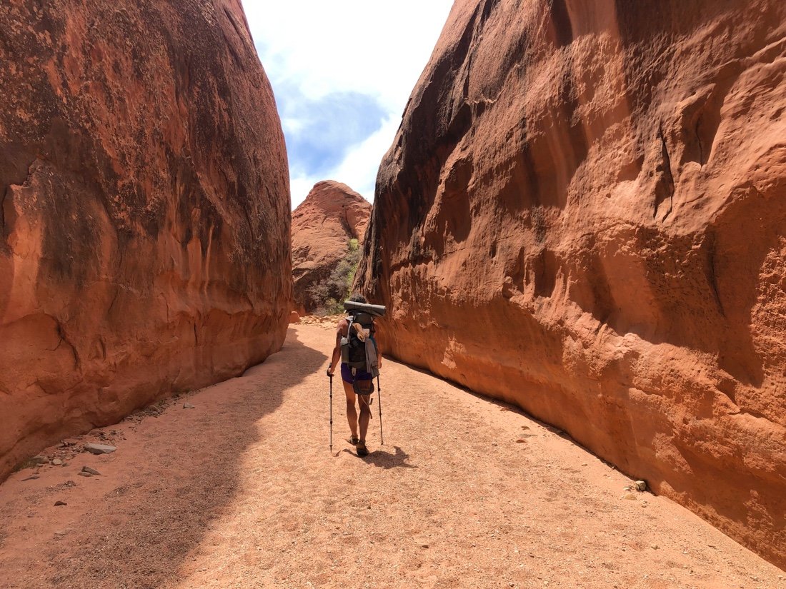
Hayduke - Burr Trail Rd to Hole in the Rock Rd

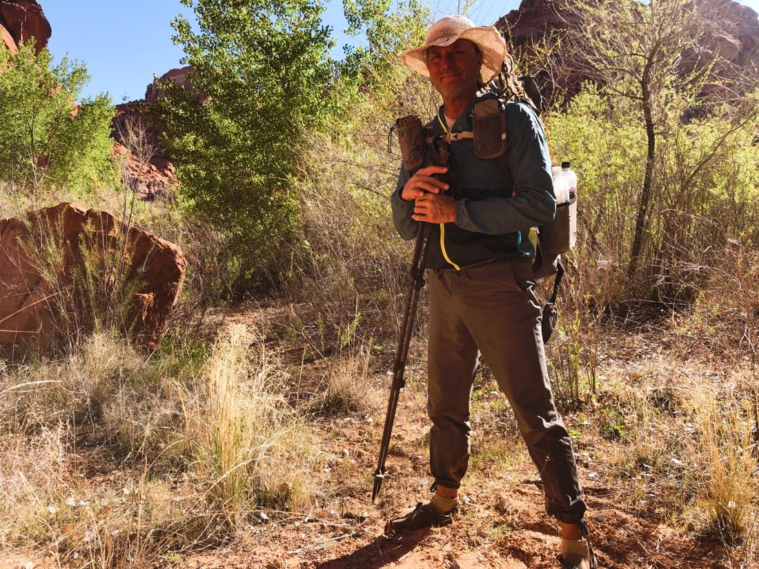
Reaching Burr Trail Road was a significant milestone for me. It’s hardly a quarter of the total distance of the Hayduke route, but somehow marks a transition for me. From here, I know I can walk beyond myself, wrapped in love, with an ease in my step.


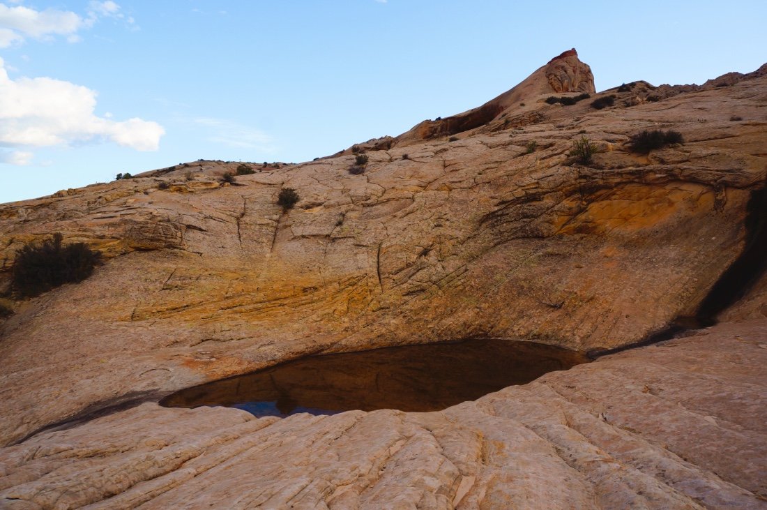
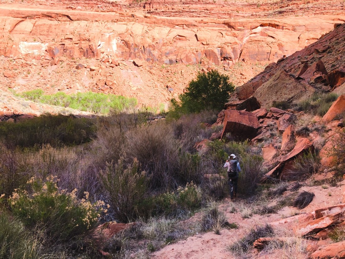
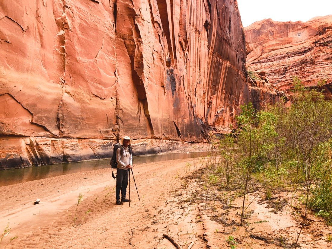
We took the Post Cut-off Trail, up and over Water Pocket Fold, to reconnect with our route in Lower Muley Twist Canyon. Like entering a dream, it made me feel like Alice in Wonderland, small and big all at the same time. Smooth tall walls and wavy rock fins transported me in time. We camped below Muley Tanks, four large pockets in the sandstone that hold water. The cliffs lit orange in the sunset, and a chorus of crickets and frogs sung lullabies to the stars. I felt totally at peace here. I wanted to show my mother this place. I wondered if she would have liked it—she wasn’t a desert person; she loved the mountains. I drifted in and out of sleep. It was hot. I slept most of the night out of my sleeping bag.


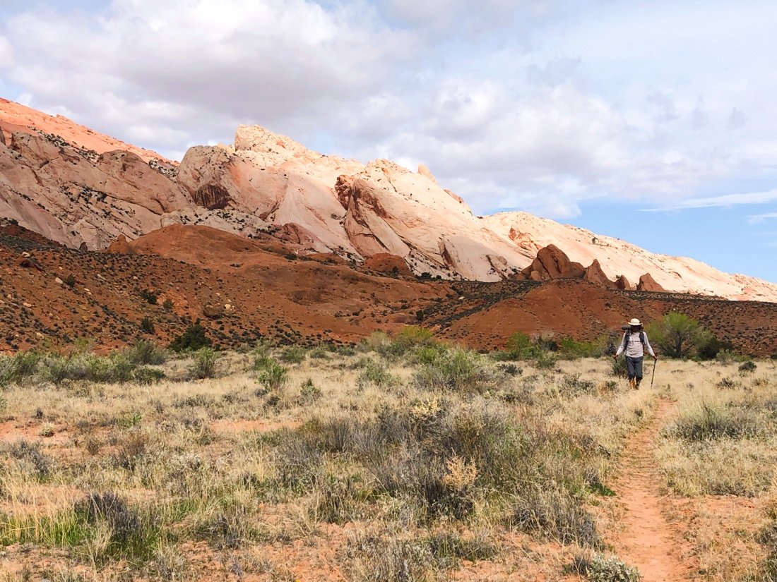
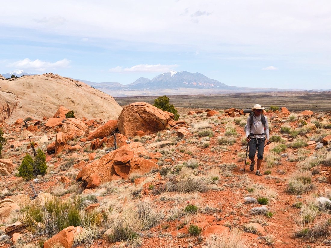
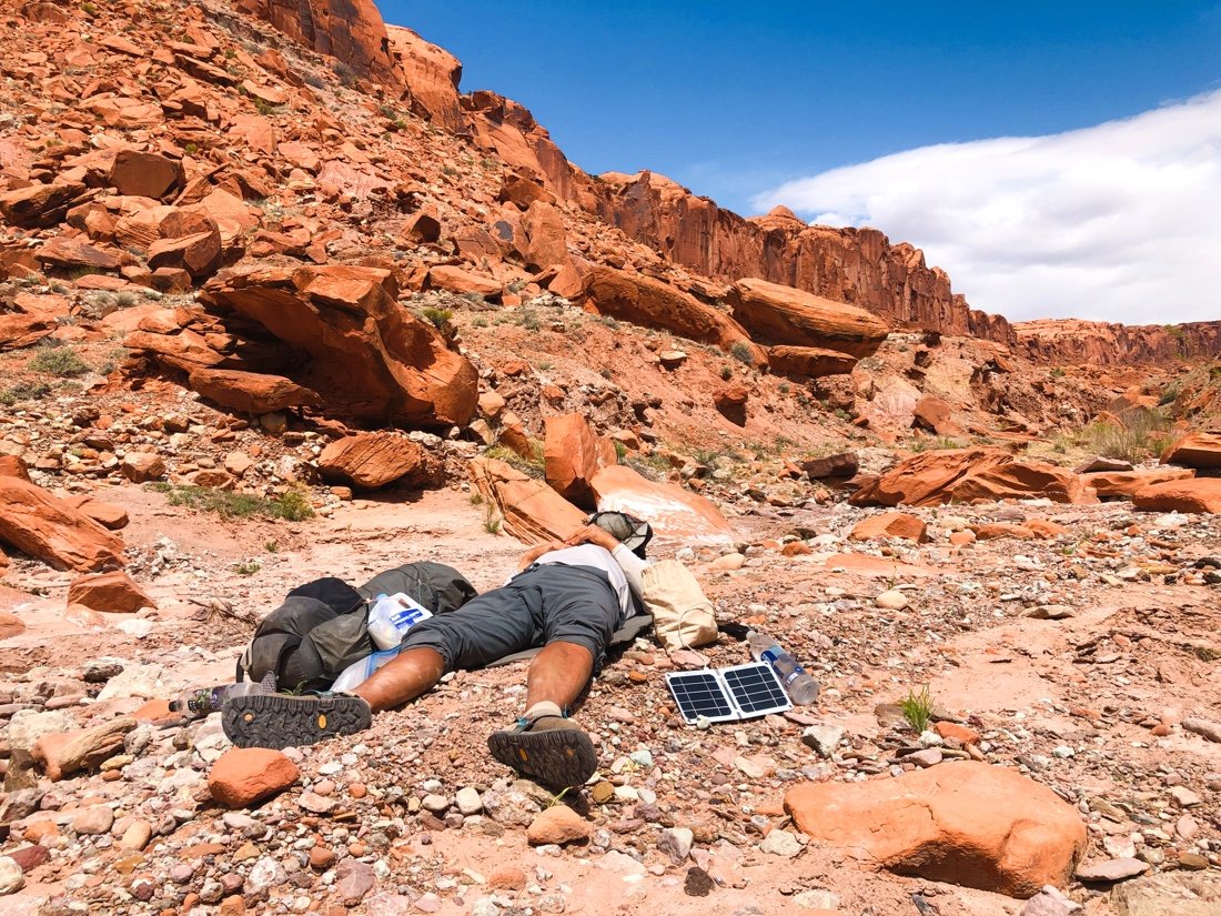
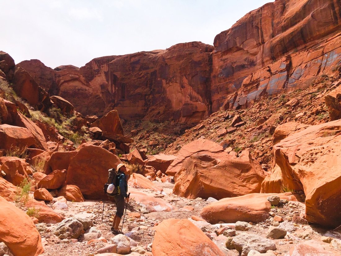
The next day we climbed up Red Slide, out of Halls Creek, 2,400 feet, to Circle Cliffs Pass. I recognized the mesas of Circle Cliffs Pass—I had seen them the week before from our highpoint in the Henry Mountains. We dropped into Middle Moody Canyon. After a short while we came upon our next water source, completely dry. Here we go again. Ten more miles until the next water source. We searched around for a bit to see if there was a nearby pothole still holding water. We gave up and continued hiking when I saw a small hole dug in the gravel of the creek bed, perhaps by an animal. There was a few cups of slightly muddy water about ten inches down. “Woohoo!” I exclaimed. “We have water!” I hummed and chirped and sung the rest of the evening. It doesn’t take much to make a thru-hiker happy. A few cups of muddy water is precious in the desert. We hiked further into the evening than we really wanted to, but we wanted to position ourselves closer to the next water for the morning. We found a high spot out of the creek bed for the night, between a few large boulders.


• cryptobiotic soil •


• more petrified wood •


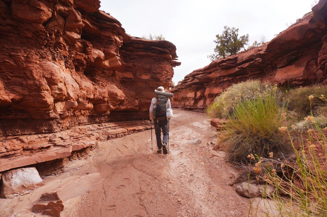


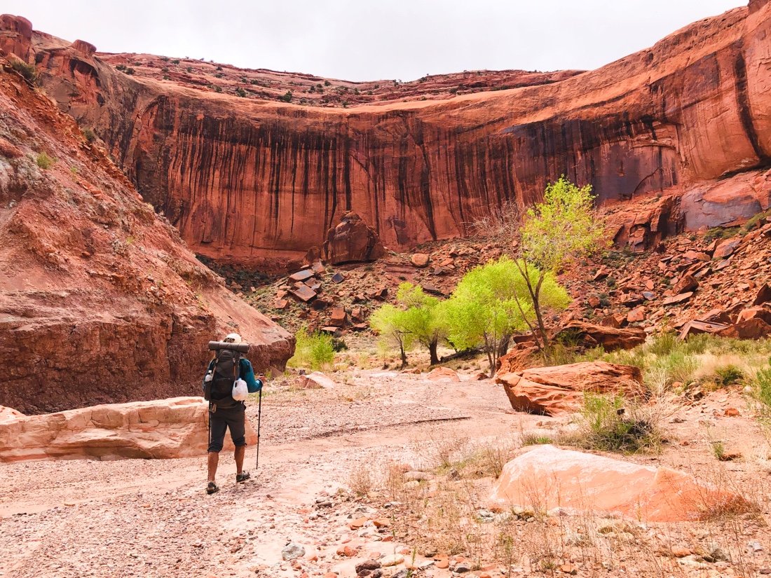
The next day was uneventful. We found water early, and more water flowed, intermittently through the canyon. The large boulders gave way to a wide, more open canyon, as we approached Escalante Canyon. Our energy was growing short, after two trail sections back to back, with out a town rest. When we reached the Escalante River, still early afternoon, we decided to take a trail nero and just hang out for the rest of the day. We splashed around in the water, and I ate way too much of my food, feeling good about the progress of our miles so far for this section. We set up camp under a cottonwood tree and lounged around until the sun went down.


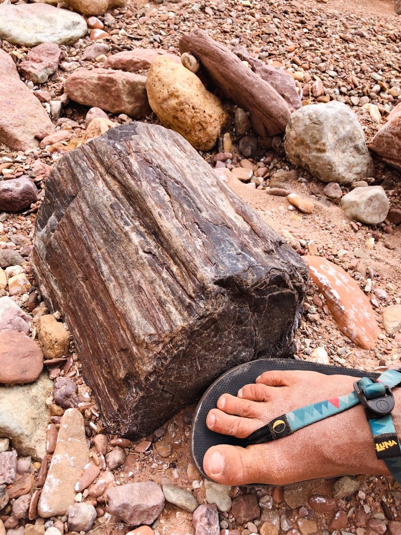
• pretty sure this is the largest piece of petrified wood I’ve seen so far •

• the Escalante River •


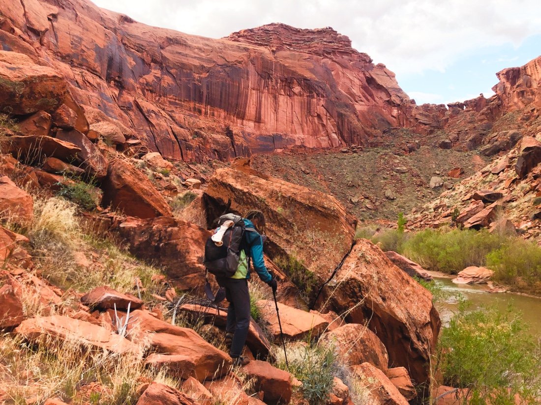
The morning hours were cold, just at freezing, and we decided to wait until the sun was higher before beginning our many crossings of the Escalante River. I should remind you again that river crossings fill me with fear, at least until I’m confident that the water won’t sweep me away. The first few crossings were traumatizing for me, but they weren’t deep or swift. After a few more crossings, my fears settled, somewhat. Neon, on the other hand, is a rock in the water, and would plunge in nearly anywhere—looking cross-eyed at me every time he started to cross the river and I asked how deep it looked.
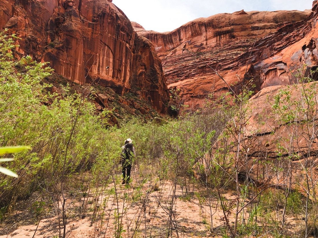
The river crossings turned out to be the easy part of Escalante Canyon. The water was clear and we could see how deep different areas were (some were quite deep, probably over my head), and so we were able to choose our crossings easily. The difficult part turned out to be how overgrown the canyon is, with sometimes wall to wall willows, reeds, horsetails, and rabbitbrush. It was exhausting pushing through the willows, tangled with reeds. Our hands were tore up, after just a few miles. By the end of the first day we had only made it seven miles. We camped at the mouth of Scorpion Gulch, feeling a bit trapped, in a place neither of us were enjoying as much as we wanted to be. The prospects of twenty more miles of pushing a path through the brush was daunting.
The pictures of course are of all the easy and beautiful parts. My camera is rarely out during the difficult and grueling parts. And that’s as it should be really, because the beauty out here is off the charts. Words tell a better story of the difficult sections, which are always personal and subjective anyway. And as with many other difficult things I’ve done, they often become my best and favorite memories of an adventure.


We started bright and early the next morning, hoping to make more miles, with five crossings in the first half hour at 33°F. The brush eased up, a bit, here and there. Our moods lifted some, feeling hopeful we could make more than seven miles. This allowed me to enjoy my surroundings more. It’s a weird mental space when you’re somewhere you want to be, sort of, but you find yourself hitting mental roadblocks, not enjoying the particular circumstances of a place.
The Escalante is a special place, difficult to get to, and so was one of the last two places to be mapped in the U.S. (the other being the Henry Mountains). I wanted to enjoy its history, and its grand orange walls, but I was having trouble getting over the tall, wispy, willows and reeds slapping me in the face and ripping up my hands. I had made friends, mostly, with the river—but in the brush, I could have been anywhere, tangled in a madness of overgrown plant life, like a beetle trying to escape an overgrown backyard.


We made ten miles on day two. We found a super windy camp spot on a sandy beach next to the river. Really, everything is sandy here, but it was a pretty beach-like spot to spend the night. At this point my energy was fading fast, and I began to think about all that food I ate when we took the nero a couple of days before. I separated all my food, and rationed it into little piles for each day, pretty meager at this pint in the game. Two trail sections back to back with no town feasting in between. And now, taking a couple of days longer (hard days) than we had planned. Sand blew in through the tent screen all night. The stars were bright. Crickets chirped. There is magic here. A small bit of myself relaxed. My hands ached with dry cracking skin, cut up from the brush. I woke in the night and rubbed more olive oil into them.

Day three we woke even earlier, ready to plunge into the river in freezing temps and escape this brushy canyon. I tried to soak in more of its beauty. We kept our breaks short, and the miles rolling ...through brush, across steep scree, over boulders, and across the river ...again and again and again. The miles seemed to be getting more difficult now instead of easier.


• Great Blue Heron tracks (I think) •
At river crossing 109 the banks were so overgrown, and the water only calf deep, that we just hiked down stream through the water for the next half mile, passing by the arch at the end of Steven’s Canyon. It was beautiful, but I hardly mustered the will to snap a quick image as I walked by in calf deep in water.

The land opened up and we walked overland again. At crossing 110, and the only crossing available without a machete, we dropped waist deep into the water... that was our last crossing of the Escalante. We could see the high-water bypass shortcut ahead of us. We scrambled up through the gully to higher ground.


The Escalante below was beautiful. A short distance later I could see down into Coyote Gulch. Waves of relief rolled over me. “We did it! We’re really out.” I called the first camp spot I saw and I declared “we’re camping here!” It was a beautiful spot, under a cottonwood tree, a gentle breeze blowing by, and the sound of a babbling creek just below. The stars shined bright between the canyon walls above.

Coyote gulch is gorgeous, high orange walls, electric green cottonwoods, a small flowing clear water creek, and easy miles. It passed by in a blur, my thoughts still back in the Escalante. We filled up at the last water when we reached Hurricane Wash, washed up, and rinsed our sandy smelly clothing. Hurricane Wash opened up into the kind of desert setting I love—open, with big vistas, and the freedom to move and flow again.


When we reached Hole in the Rock Road, Tim was in the parking area with friends. They had brought him more food for the next section of the route. We shared our turmoil from the Escalante, and Tim shared how much he had loved it, telling us that it was his favorite section of trail so far. He said he loved the willows and the reeds, and described his experience as feeling like he was swimming through the brush. His friends offered us homemade hummus and vegetarian eggplant curry, and they offered to take our trash too. We hung out for a long time, sharing stories and trail beta. The trail magic on the Hayduke has been some of the best I’ve ever experienced.

We’re a month into our thru-hike and it’s starting to sink in now, all the things I love about thru-hiking—all these connections ...to places, to people, to nature. My ribbon stretches from horizon to horizon now, one with time. I rise and set with the sun. The water flows through me. My blood is one with the plants and the soil. My skin is dry and cracked just like the earth I walk upon. I bond instantly with the people I meet. The animals pause at my presence, eye to eye, we acknowledge our place here, together in the whirring and buzzing of the motion of life.

