Mexico 12: In Flow with Time
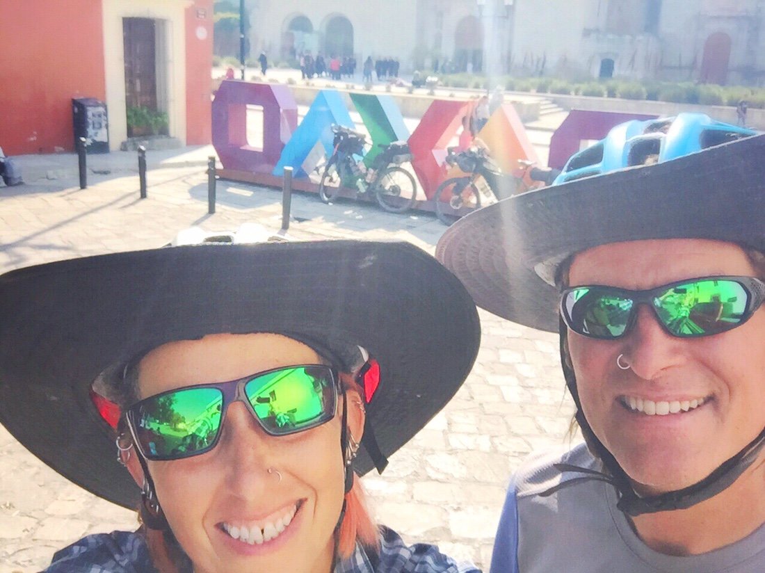
"Oaxaca to San Juan Guichicovi"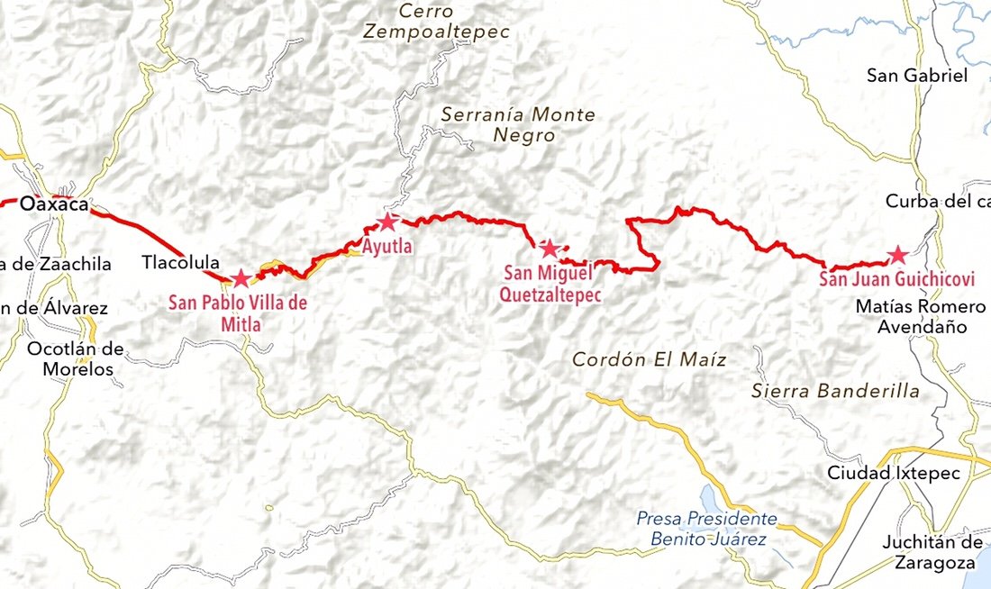 We headed out of Oaxaca, eager for some miles. The road out of town was a bit crowded, but the landscape seemed to pass by as if we were floating on a "moving walkway".
 We stopped for a short break in Santa María del Tule to spend a few minutes with the "Tule Tree", a ~2000 year old montezuma cypress. It is said to be the largest tree in the world in terms of its width, measuring ~40 meters in circumference. I've always love old trees; sometimes I think I must have been a Druid in a past life.

 We made it to San Pablo Villa de Mitla, ~50 kilometers from Oaxaca, by lunchtime. We were in flow with time now, making miles like we were being transported by a time machine.
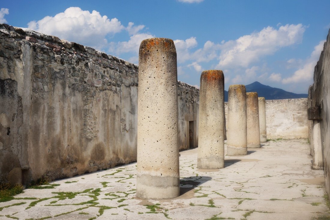
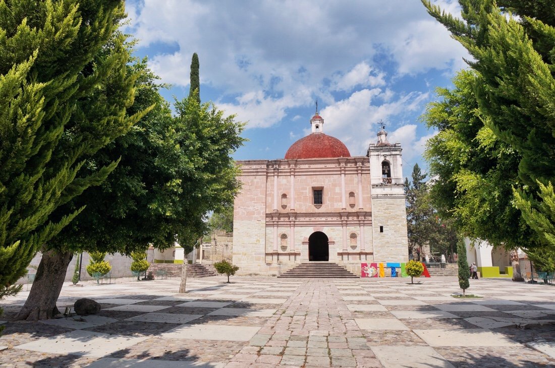 Mitla is said to be the most important archeological religious site in Zapotec culture. The name Mitla comes from the Nahuatl word Mictlán (the place of the dead). The Zapotec name is Lyobaa (place of rest).
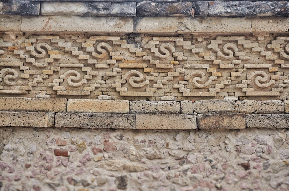
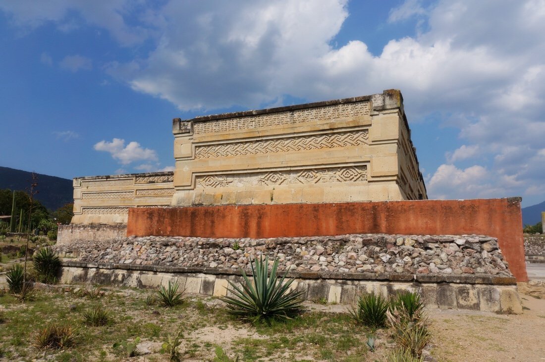
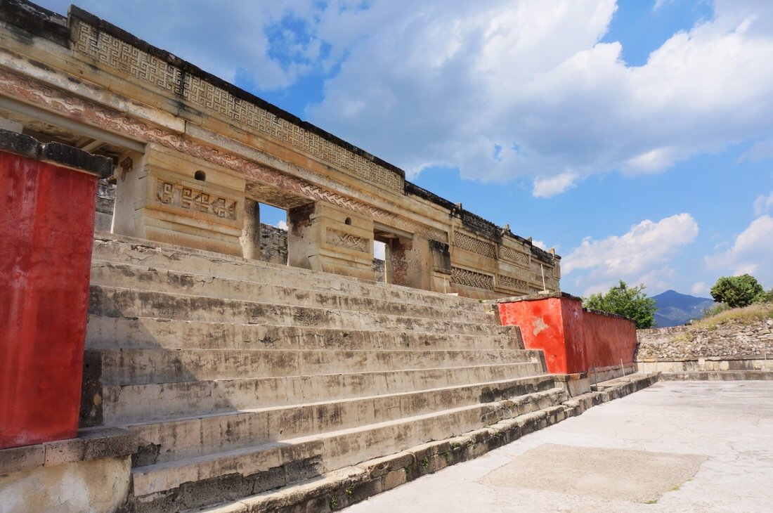
 What makes the Mitla archeological site unique (in terms of architecture) is its elaborate mosaics of cut and fitted stones (without the use of mortar). According to the sign on site, there is evidence of human inhabitance of Mitla as early as ~200 AD.
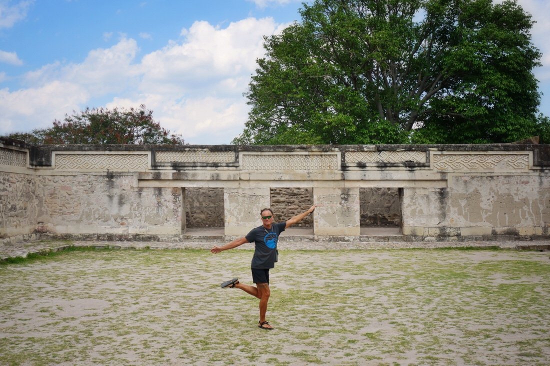
 Mitla was still occupied when the Spanish arrived in ~1520. The catholic temple was built in the 17th century in one of the courtyards of the Mitla site.
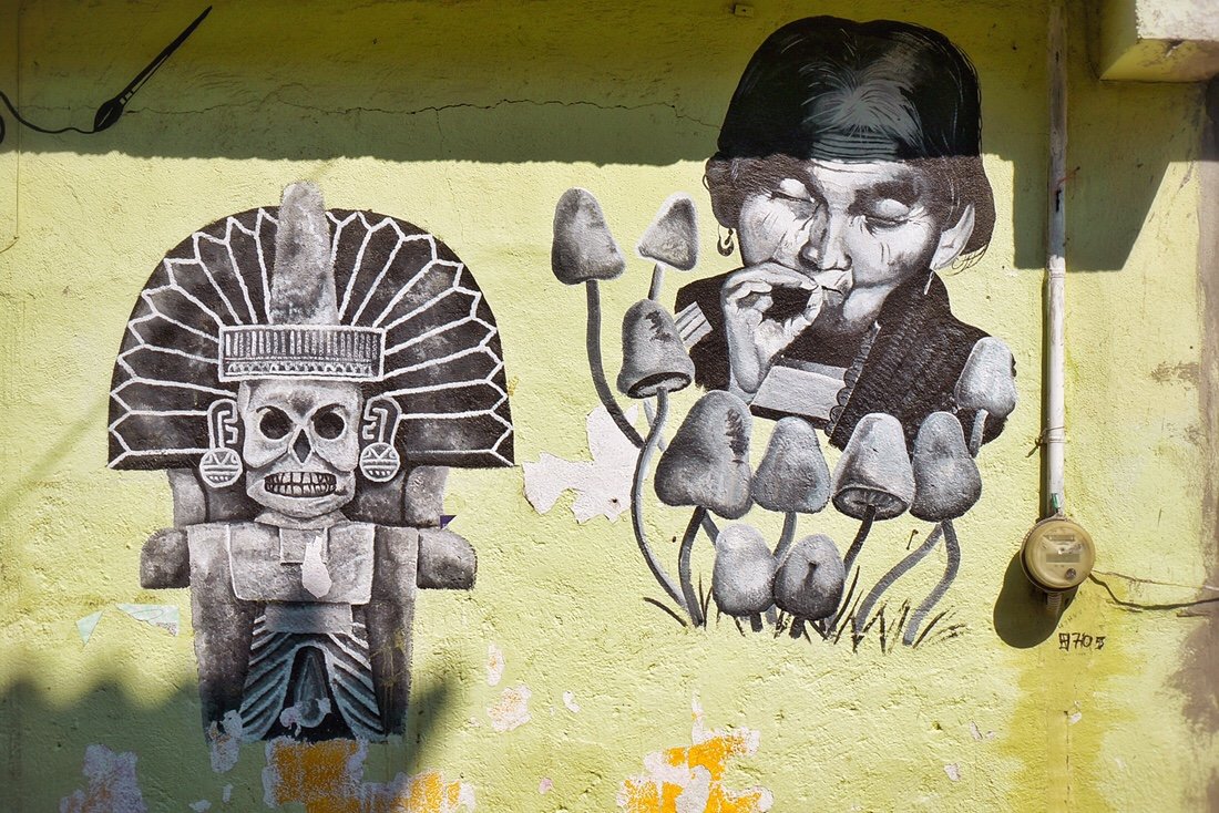
 Mural in San Pablo Villa de Mitla--presumably the woman is a portrait of Maria Sabina, a native shaman skilled in using mushrooms to communicate with god and heal the sick. She was the first contemporary Mexican "curandera" (native shaman) to allow outsiders to participate in the healing rituals.
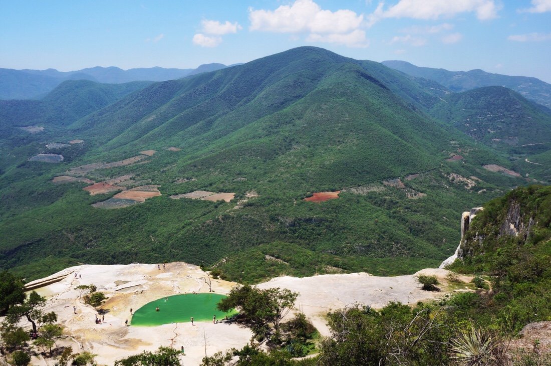
 We took a day off in San Pablo Villa de Mitla and took a bus to visit Hierve el Agua. Hierve el Agua is Spanish for “the water boils”. The water isn't very warm; it's colder than body temperature, but pleasant enough for a short swim on a sunny day. But it sort of looks like its "boiling" where it bubbles up into shallow pools from small springs.
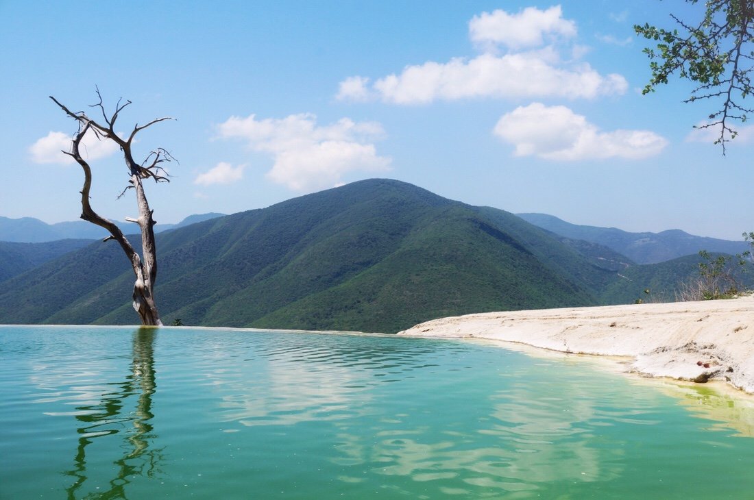
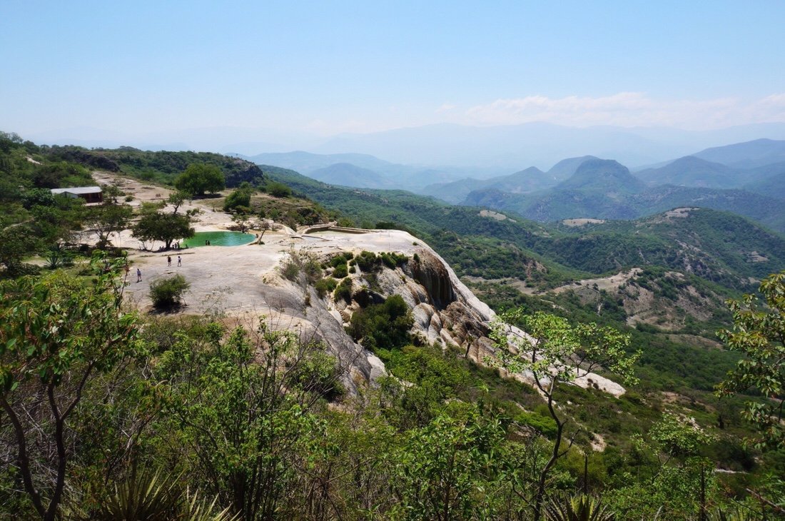 The “waterfall” rock formations are created by mineral deposits (calcium carbonate, etc) left by the spring water that flows here, much the same way cave stalactites are formed. The area is also of archeological interest due to the ancient terraces and irrigation canals built by the Zapotecs ~2500 years ago. The canals are unique in Mesoamerican history because irrigation was uncommon in pre-hispanic Mexico, and because they are the only example of lined canals.

 Our route followed pavement out of Mitla, climbing higher and higher into the mountains. We made it to the small town of Ayutla by early afternoon. My legs felt like jello from the long fast climb so I was content to hang out in our hotel room for the remainder of the day.
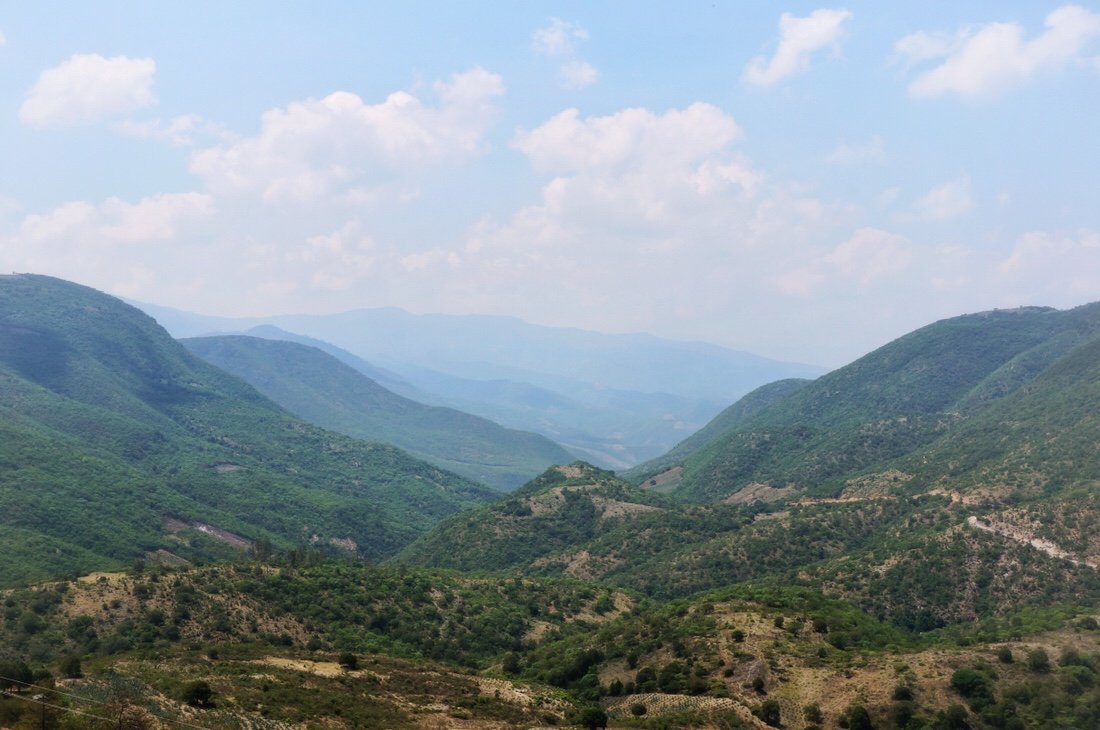 We rolled out of town early the next morning under overcast skies. The clouds gave way to bright sun sooner than I would have liked.
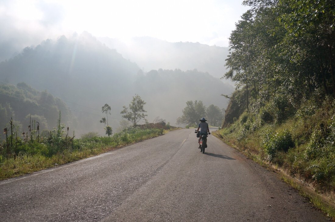 The mountains were steep and dotted with small villages.

 We climbed deep into the mountains, then descended ~6000 feet into an even hotter, and steamier, ecosystem.
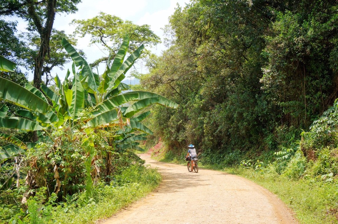
 Banana trees were abundant, and butterflies followed us as we rode. The green got greener, and the air was so humid that sweat ran down my face and bare skin.
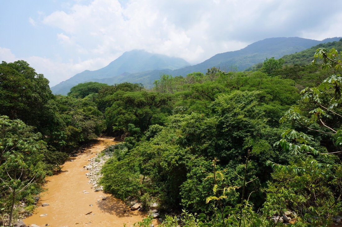
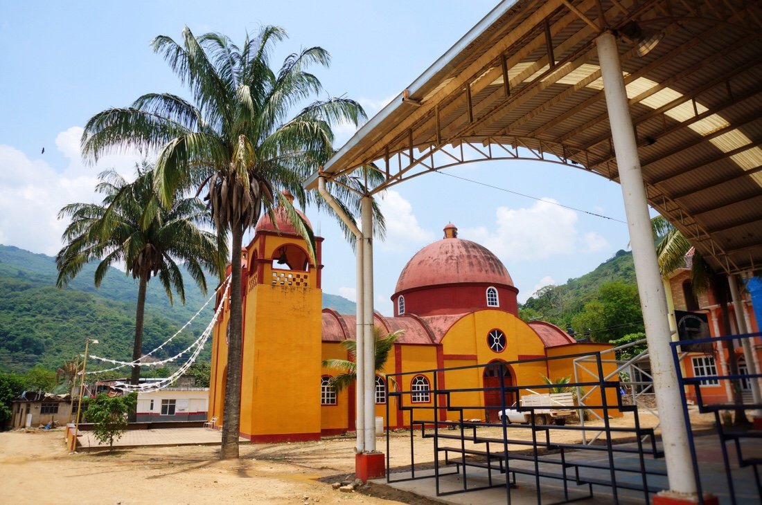
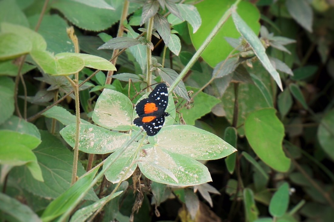 After a long fast descent, we climbed back up to the town of Quezaltepec where we got a room in a posada for the night. The town was pretty rough around the edges, but we were met mostly with smiles.
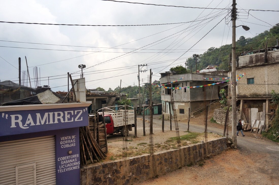
 We got an early start the next day, resupplying at a small tienda before continuing our climb deeper into the steep green mountains, covered with tropical vegetation and big trees, and deeper into the native Mixe villages.

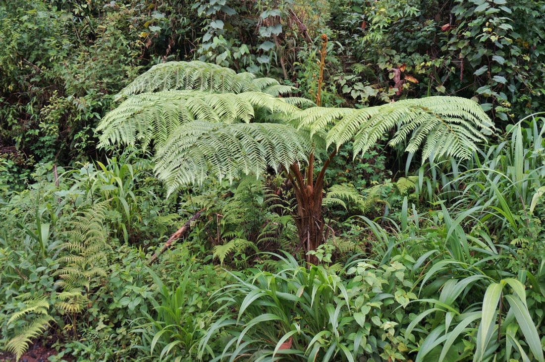

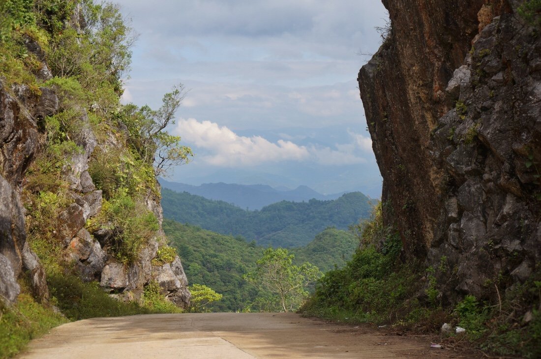
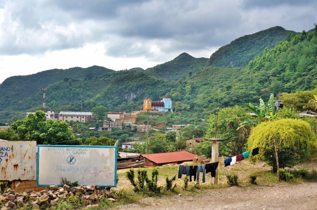


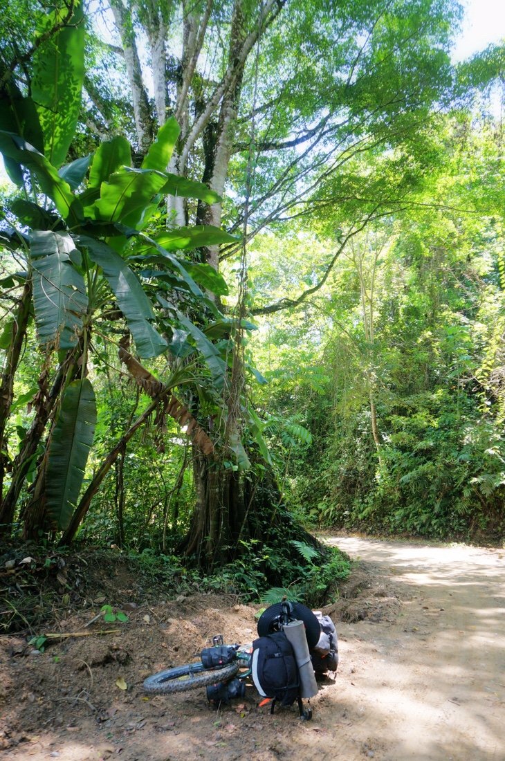
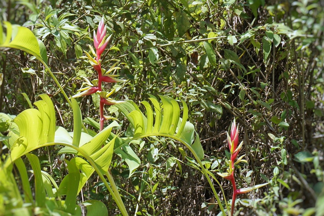

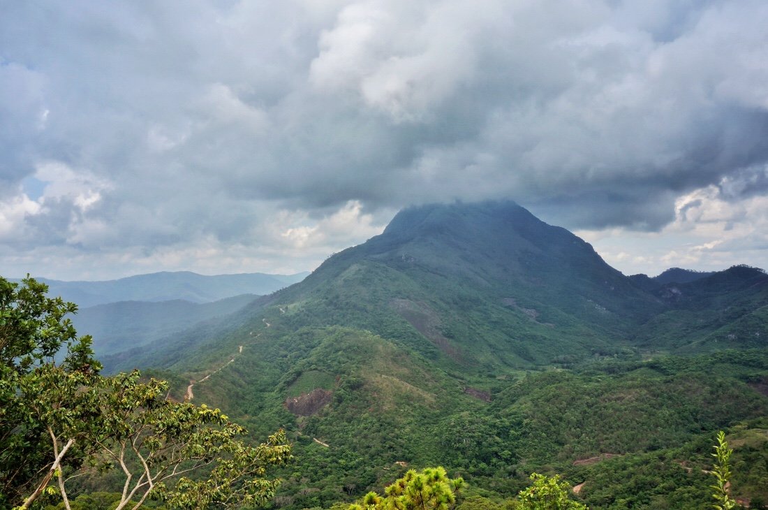
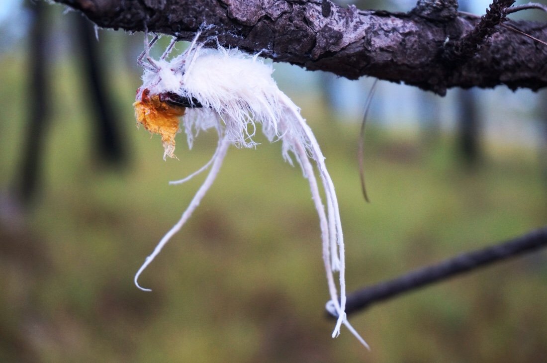
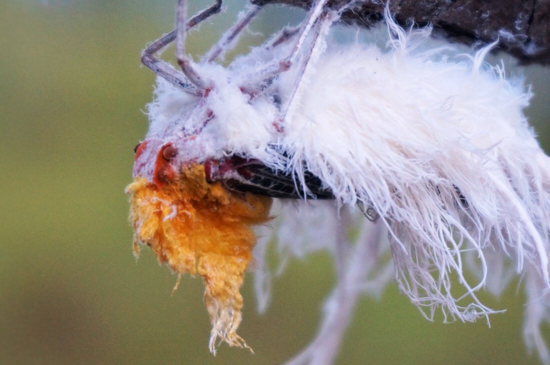
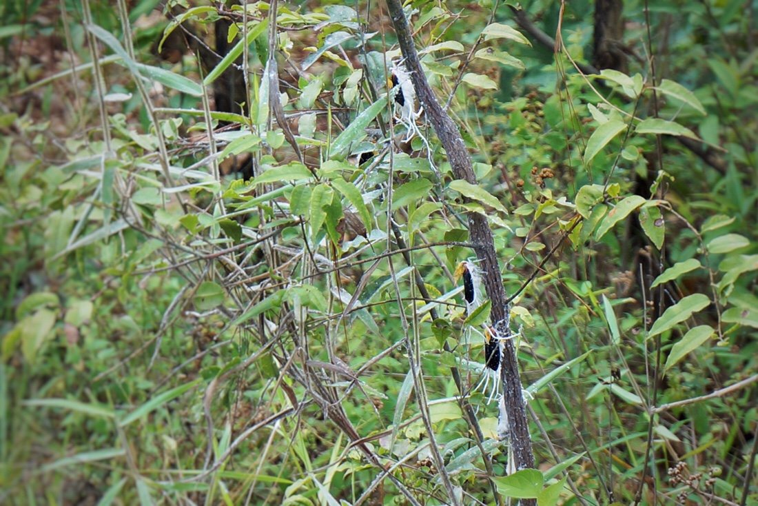
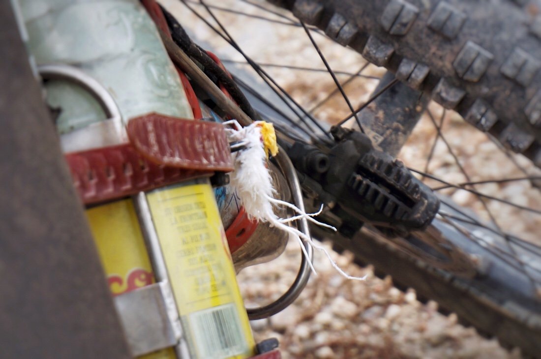
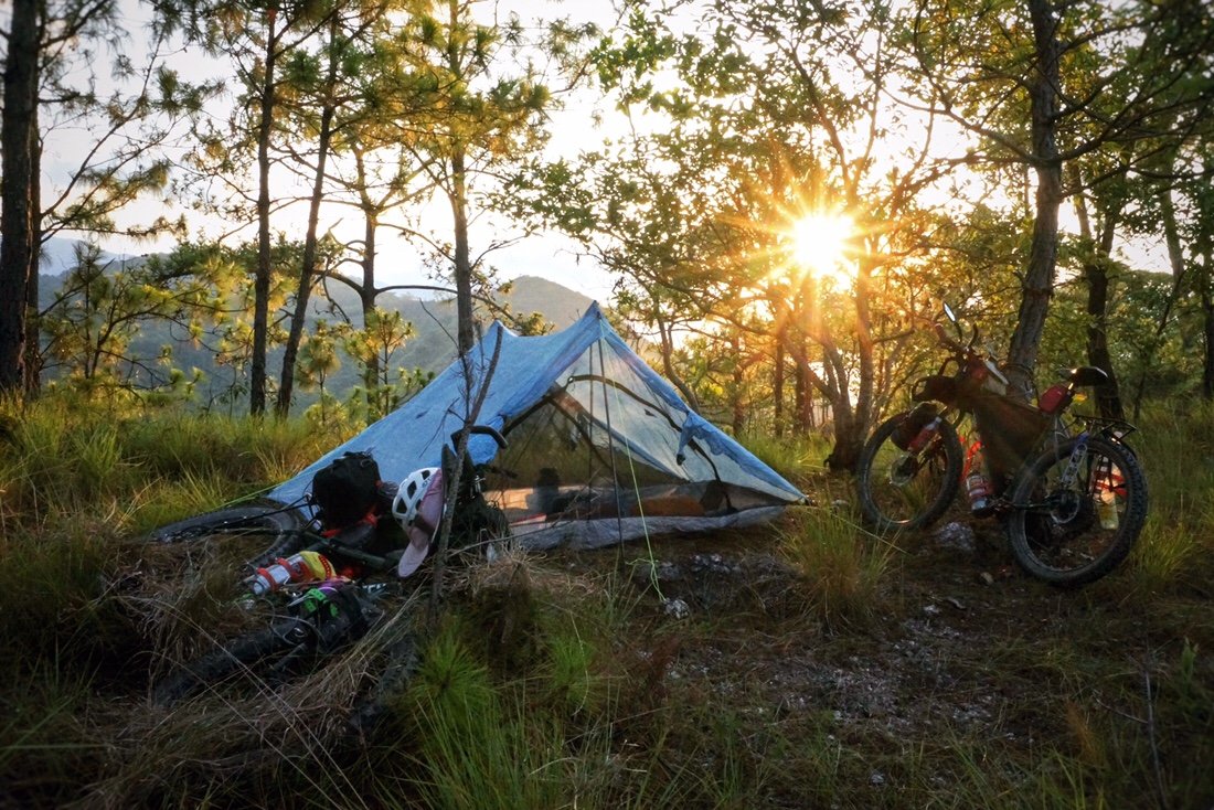
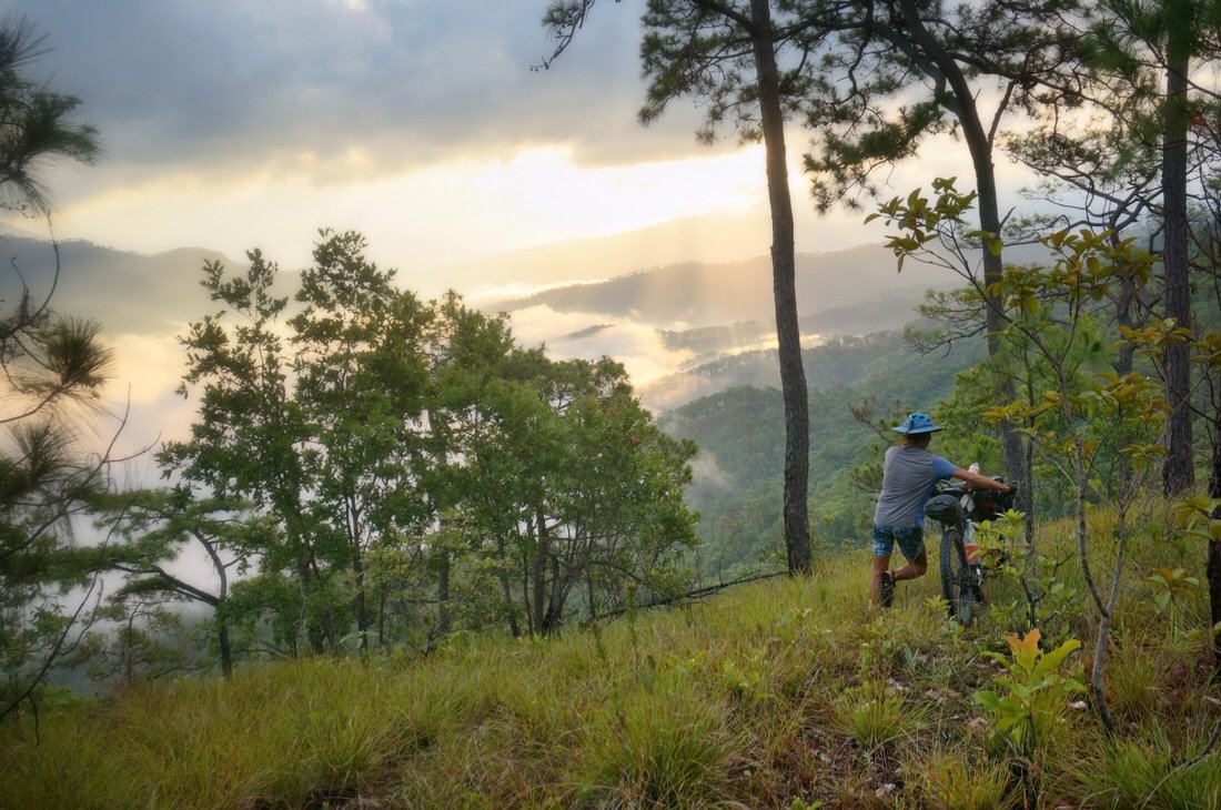
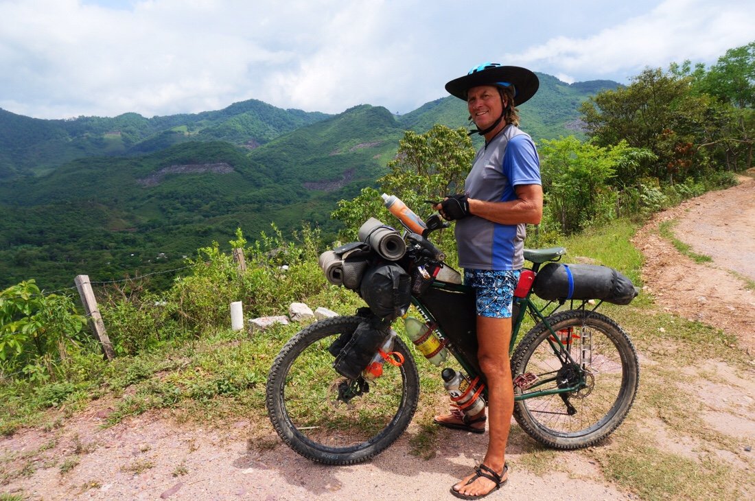 After the small town of Ixcuintepec, the tropical vegetation gave way to a dry-ish pine forest where we found a beautiful ridge to camp on. On our way up the ridge we saw the strangest insects. They flew like a little bird, had wings like a beetle, and walked like a grasshopper (and they were several inches in size). They’re the weirdest creature I’ve ever seen. I tried to get a video of them flying, but they wouldn’t have it. After some online inquiries, it seems they might be some kind of "flugorid planthopper" similar to a "rooster tail cicada".

 We headed out early into the clouds. After a short ride on the dirt road we cut down onto singletrack that led down to a river in a steep valley.
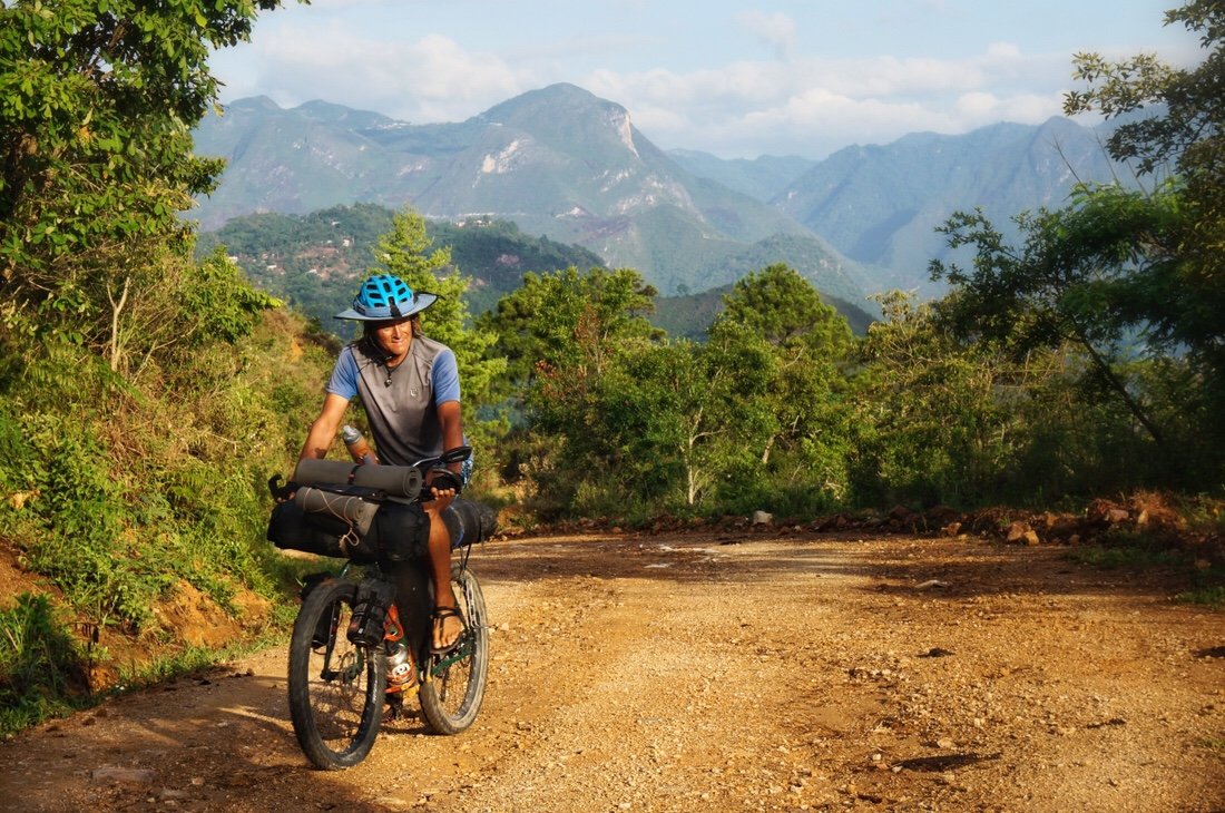
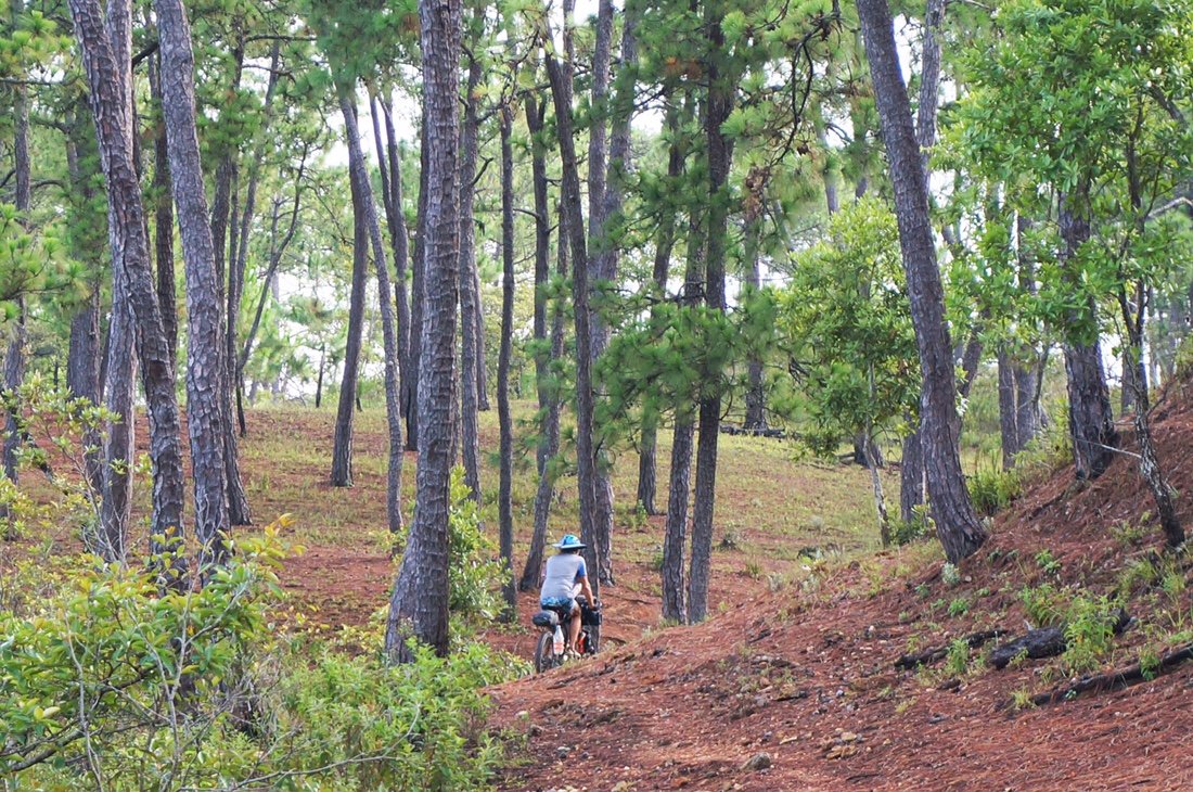
 It was a steep hike-a-bike up the other side, which took the better part of the day.
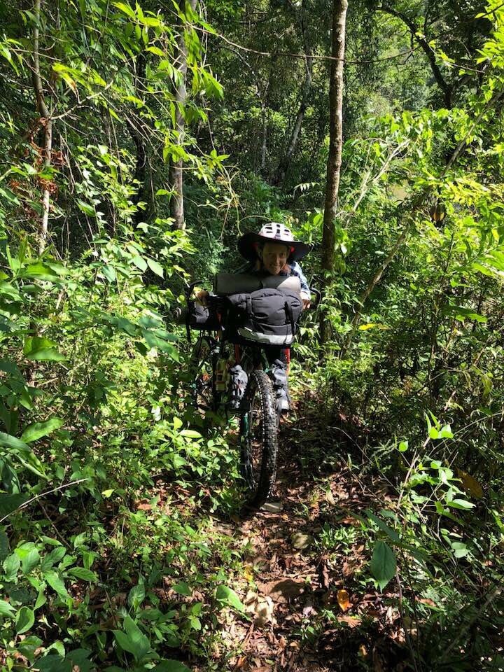

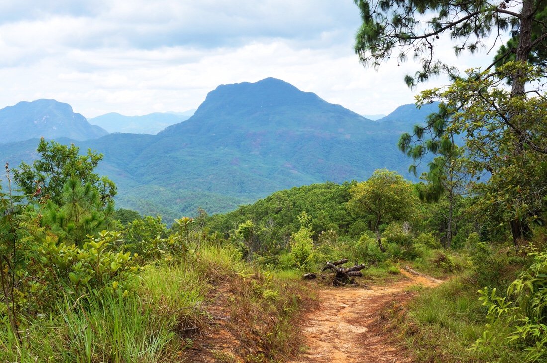 We made it to the small town of Malacatepec late in the afternoon, stopping at two different tiendas to resupply before heading out of town to find a place to camp.
 ...looking back on Malacatepec and the ridge we had headed down, near the high peak in the back center of the photo, to cross the river valley, and where we re-emerged back up the ridge near the small peak behind the town. The fire smoke is from where the locals are burning small plots of land in preparation to plant food crops.
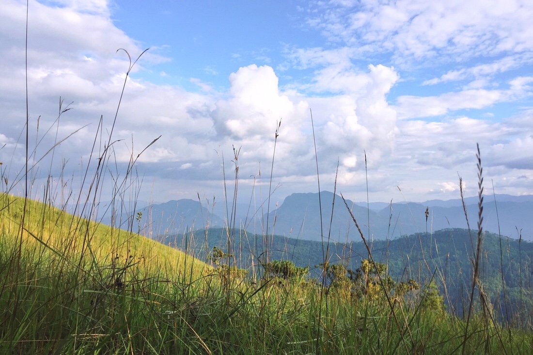 We found a place to camp out of sight of the road, in tall, wet grass, bordered by dark jungle behind, and with a view of the ridge we had descended that afternoon.
 We woke to a misty cool morning. We spent the day climbing and descending ridges, riding between tropical vegetation and dry pine forests.
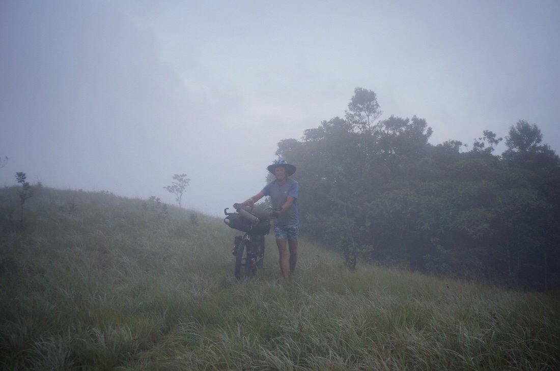
 We stopped early and camped on a dry ridge shaded by tall pine trees. By evening we were picking off tiny ticks, and even more by the morning hours.
 We stopped briefly in San Juan Mazatlan for water and a snack. Sara and Oscar chatted us up and fed us, while we cooled off in the shade of a small tienda.
 We had one last, long, hot climb before reaching the town of San Juan Guichicovi where there was a hotel. It had fast wifi and air-conditioning, so we took the next day off, streamed movies, and stayed cool in our tiny room.
 _____________________You can sign up to receive The Redheaded Nomad’s blog posts in your email inbox; sign up at the bottom of any page on my website: theredheadednomad.comFor more frequent updates, follow me on Instagram at: instagram.com/theredheadednomadYou can also find me on Facebook at: facebook.com/redheadednomad_____________________

